Elevation gain: 4024'
Trails used: Moosalamoo, various snowmobile, bushwhacks
With the weather shaping up to be less than stellar (ie cold and rainy), we had decided to pick something with no views for this weekend's jaunt. Our choice was to do a couple of New England Hundred Highest peaks, Breadloaf and Wilson, in Vermont.
But a we hit a snag. The problem with Vermont (especially at this time of year) is that a lot of roads get gated for winter/mud season and are still closed. While driving to get to the trail we intended to use (Skylight Pond), we came upon a closed gate which would have added more mileage than we had intended to do (at least more than they wanted to spend hiking in the rain!)
Lucky for us, we have gotten used to this over the years and have become quite adept at changing plans on the fly, sometimes for the good, a lot of times for the bad. Today, however, we hit a home run with a quartet of peaks that would provide not just decent mileage, but pretty easy mileage at that!
First up was the humorously named Moosalamoo mountain, which is located in the Moosalamoo National Recreational Area.
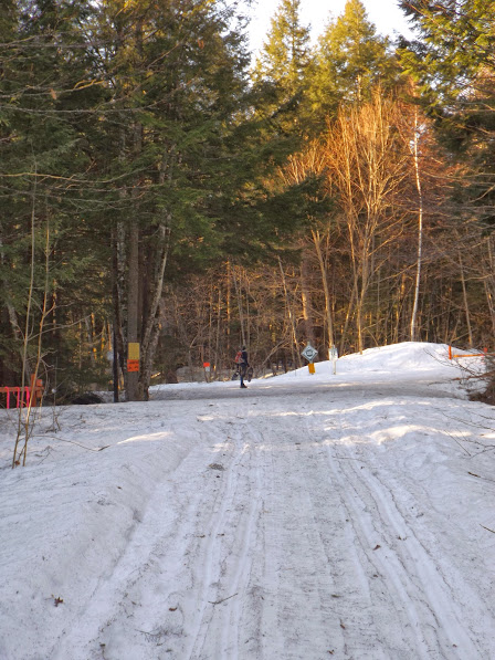
The trail we started out on begins as an old woods road, which we found off 125. Mountain biking is allowed on portions of this trail. In winter, this area is part of the Catamount XC ski trail system and has a nice trail system map at the gate.

It eventually leaves the road and heads into the woods on a blue blazed trail. Note the forest roads listed on the sign.

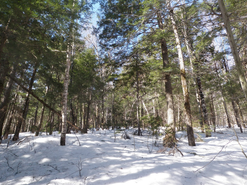
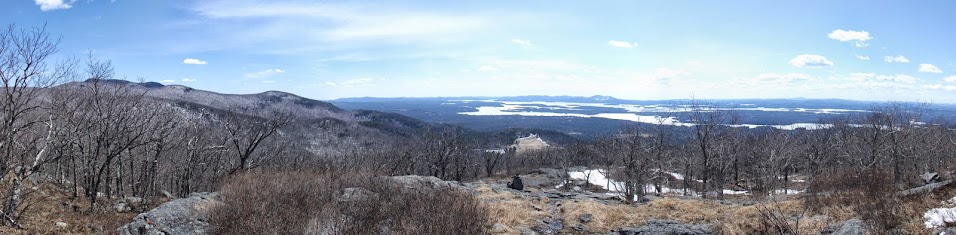
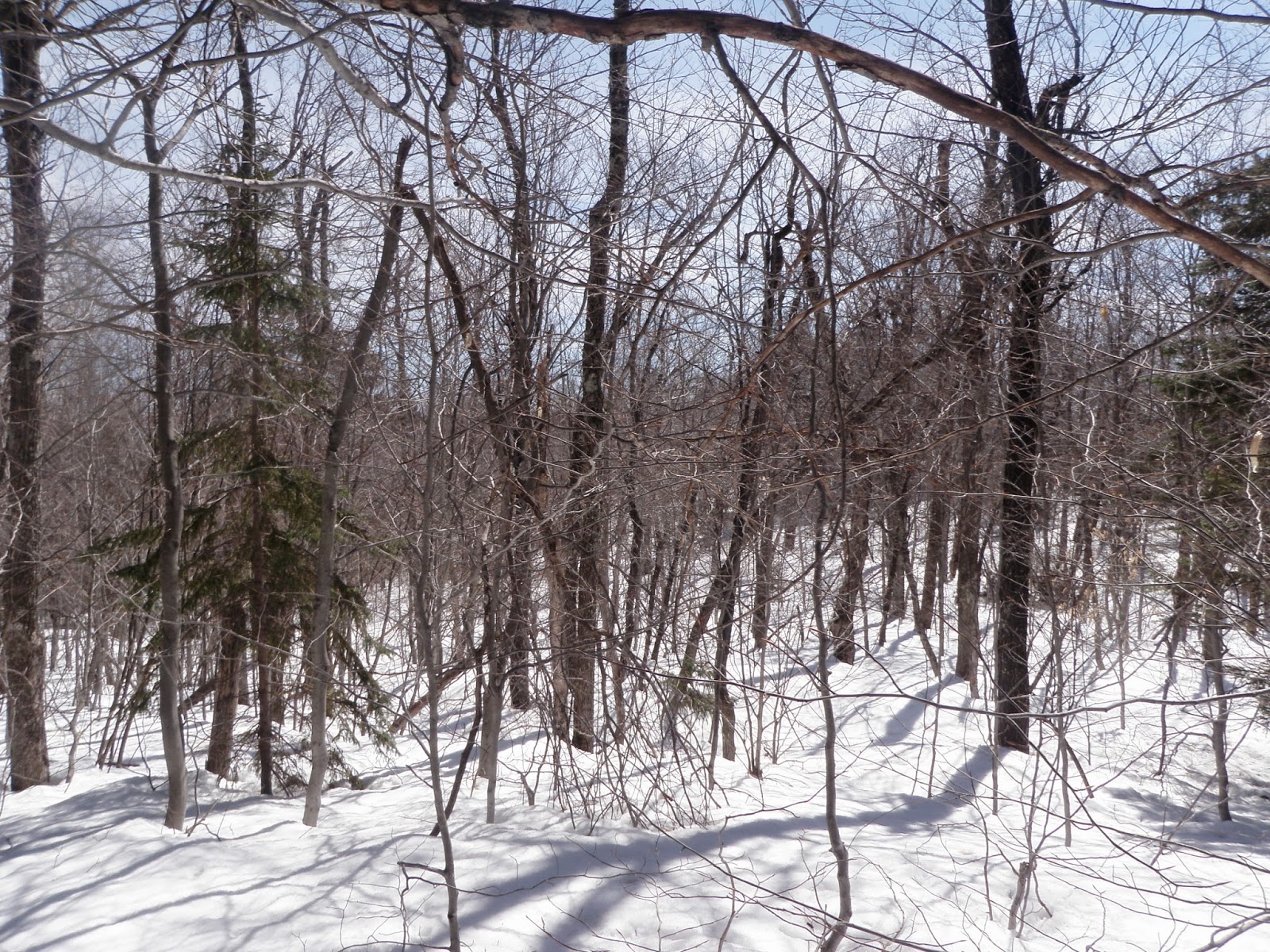
The woods were damp, but gorgeous and open! We followed an old forest road at points and they're most likely used by snowmobiles in winter.

We came across this marshy area at about 2000 feet. At no point on this hike was the trail ever really steep at all.

Walking along Oak Ridge as the misty fog moved in creating a creepy aura. It was a nice pleasant walk from here to the summit.

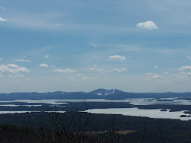
The summit sign on Mt. Moosalamoo (elevation 2625'). There are view vistas in either direction of the summit, but since there was zero chance we would get any views, we did not go to them.

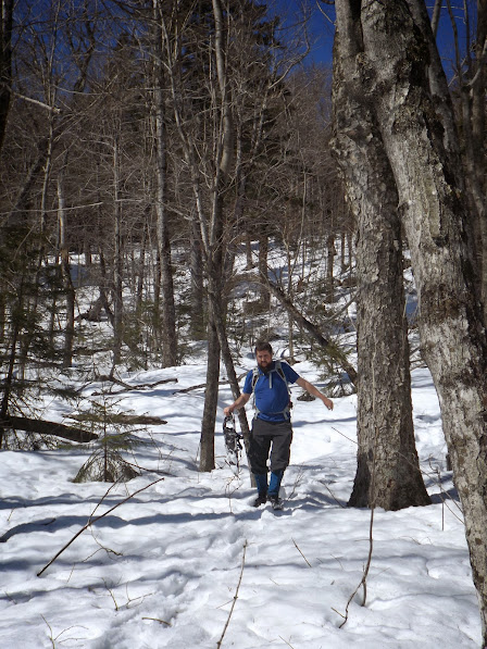
Brian is enjoying a snack on the summit. Sour candy at its finest!!

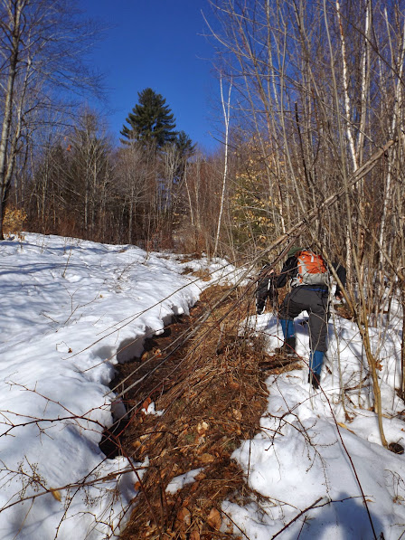
We decided to the Mt. Moosalamoo Trail down, but we did not get far before realizing it was going to take us a good ways further down the road where we were parked. So we decided to use a bunch of logging roads and some short whacking to get back to the car.
The woods were pretty good for the short whacking we had to do. When the woods are this open, it makes route finding very easy.

And a few flowing streams we had to cross as well. We crossed several of these on the way down and it's not surprising. With the heavy snow this winter, it will be some time before everything is snow and ice free.

Once we got back to the car, we started to drive toward another area with a few options available to us. As we got a bit down the road, we noticed an interesting looking peak looming in front of us. A quick check in the atlas told us it was Hogback Mountain (elevation 2285').
With nothing to lose, we decided to check it out. Hogback is smack in the middle of a state operated Blueberry Management Area with a massive area of blueberry pastures. Signs tell you that the blueberries are free for the picking for personal use but selling them is not allowed and can carry a fine of up to $250. Doesn't matter anyways; we're about 3 months too early for blueberry season.
Snowshoeing, XC skiing and hiking are allowed in the area on the FR's (forest roads). Some mountain bikes use, as well.
FR 224 (closed in winter, but open in summer to allow access) was the starting point for the hike. We hiked up the road for about .25 miles.

Blueberries anyone? A little background history on the area and why the Forest Service operates it the way they do. It was really a neat area to explore.

One of the massive pastures, which amazingly is wheelchair accessible and open.

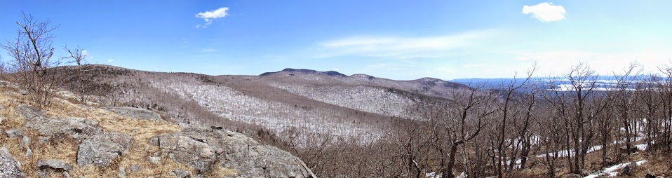
The pasture only goes up a short ways, so we followed a herd path up towards the summit. At times, it was almost trail-like going up. The woods were typical of most of Vermont's woods: gorgeous and open.

This tree had these huge mushrooms growing on it. Who can tell us what kind they are?

Hogback was a very short trip (about 2 miles round trip), so once we were back to the car we got started looking for our next destination. Several options were thrown around between us, including a couple of Vermont 3000 footers, but we had no clue how the snow depths for those would be.
We noticed on the map that there was a couple other peaks about a 15 minute drive away from where we were (Cushman and Rochester), that looked promising, so we made the decision to see what we could get in the way of a good extra miles.
This was pretty much Brian's choice on this hike; he figured we had nothing to lose checking out the other two peaks so off we went. Mind you, we are pretty good at making bad decisions all the time. This one, however, would prove to be one of our finest choices in a while!
Where we parked. The "trail" is actually an old 4WD road.

The road comes up on to the ridge into Randolph Gap. It turns out there is a snowmobile trail that runs the ridge in both directions. Cushman State Park is gated for the season now (in fact, we saw fresh tire tracks we believe were from a local warden who was up locking the gate recently).

One can truly not describe in words how awesome this was: gorgeous woods, a big snowmobile trail to follow, and easy grades that made for easy walking. No deep snow to boot.

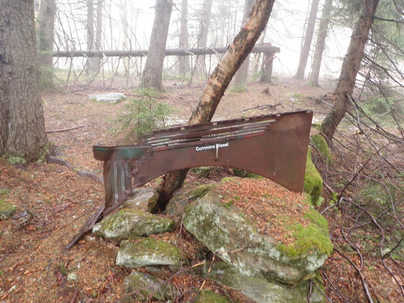
When we got into Cushman State Forest, we noticed there was a small fire ring and a few odd pieces of a possible old snowmobile.
The summit of Cushman (elevation 2750') is further on, past where the State Forest ends. A fire tower once stood on the summit. Here Brian looks at the four concrete posts that used to be the footings for the tower.

In Vermont, when you get bored, what do you do? Apparently you drive up to Cushman and shoot up an old pickup truck bed!
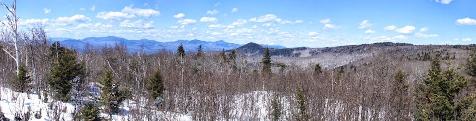
A makeshift bench at the summit where there is probably some good views when the weather is nice (which obviously it wasn't, as you can see).

We headed back the way we came to the junction in Randolph Gap, but instead of heading down we stayed on the snowmobile trail and continued on the ridge to Rochester. The "trail" on this side was on the more shaded part, and as we got higher more and more snow appeared.
But the biggest surprise was a moose encounter! We tried several times to get a picture but alas, it never presented itself long enough to take one but it made for a neat memory.
Onward to the summit we found a collection of odd granite memorials to (we assume) locals who frequented the area. A flagpole was erected (and sadly the tattered remains of an American flag littered the area) along with a summit sign and an old hunting blind.
Summit sign on Rochester Mountain (elevation 2953') shows off the locals humor.

The hunting blind. Nice woods so no surprise here. It was a in bad shape though.

While the day we had planned was much different than what ended up doing, in the end it worked out for the best. 14.5 easy miles over some obscure, but pleasant mountains made for a fun day despite the rain. This is one of the great things about Vermont, that even it's small and insignificant hills and mountains can offer a huge amount of adventure and discovery. Though New Hampshire can offer the same kind of adventure, one thing Vermont has going for it is that the woods can be a hikers paradise of open and inviting hardwoods.
Already donated but want to do more? Can't donate but still want to help? "Like" and "share" our Facebook page. Even as little as a dollar helps. Even "sharing" with just one person does too by spreading the word. Our Donation Page is set up directly through the National Multiple Sclerosis Society website, so you can donate with confidence that 100% of the money goes to this fine collection of people working to help those stricken with MS.
Brian says "thumbs up to all who donate, or like and share on Facebook!" Hey, even if you like being silly, like our page!