Elevation gain: 2385'
Trails used: Ridge, Monroe Hill, roadwalk, Gregg, Shannon
My first hike took me to Fox State Forest which is located in Hillsborough, New Hampshire. Fox State Forest is the state of New Hampshire's forestry research area. There are numerous miles of trail in the forest, most of them being on the Ridge Trail.
I parked at the Fox State Forest Headquarters off of Concord End Road where there is a nice sized parking area and is open to the public. My objective for this hike was the viewing platform on the lower ridge of Monroe Hill.
Unfortunately, my camera was on the fritz first thing in the morning so most of my picture's came out horrible and not worth keeping. Here are a few of the ones that weren't too bad.
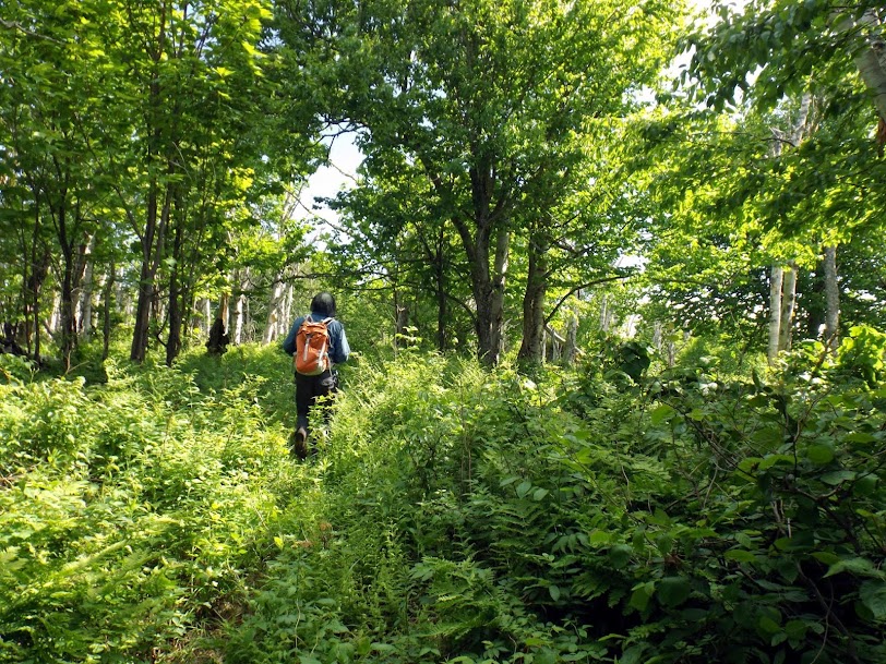
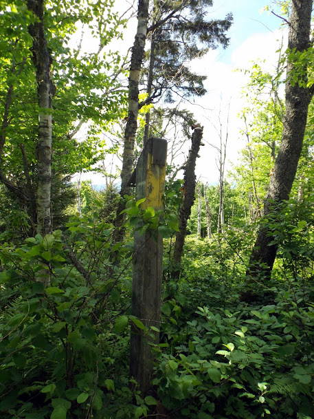
The start of the Ridge Trail on the Fox State Forest HQ side. Junctions were signed and blazing was done in red squares with a white rectangle behind it.

The Ridge Trail goes belong this old cemetery, which I believe is the Geary Cemetery.

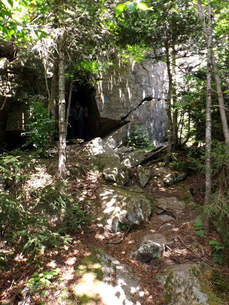
An old cellar from a homestead that once stood here in year's past. It was right across the road from the cemetery. You can still see the old fireplace.

Quite a bit of low level or flat walking made this a brisk hike.

There was a sign explaining why there are logging cuts in the forest but it was blurry and unreadable so I couldn't include it, sadly.

This is the only view left from the platform as it was pretty grown in.

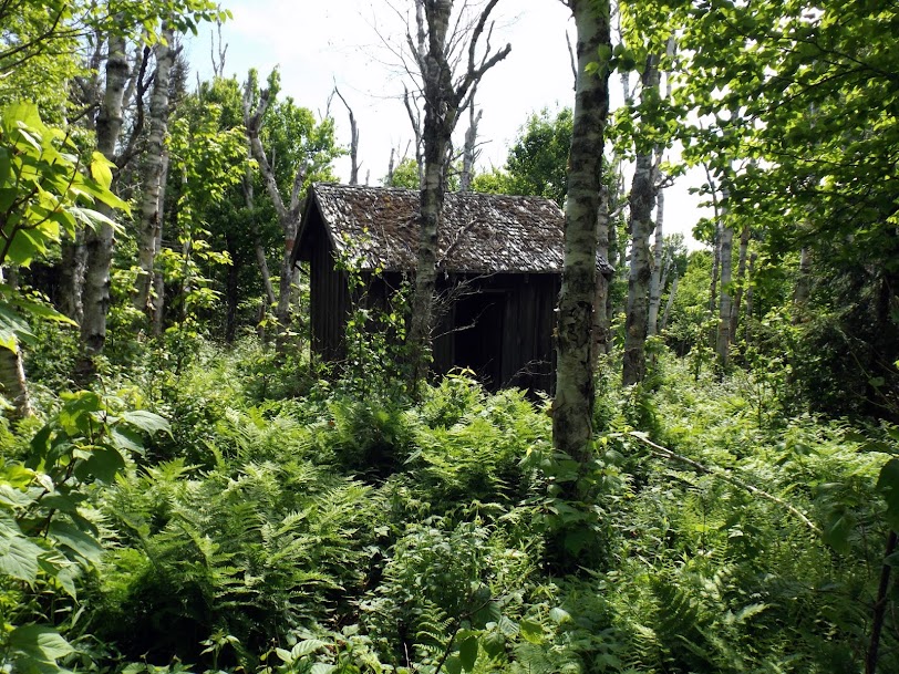
The viewing platform itself. It wasn't bad to climb up as it was sturdy enough.

My second hike would be on another peak that had a fire tower at one time, Crotched Mountain.
Crotched Mountain is located in Hillsborough County in New Hampshire. The summit is in Francestown and the Crotched Mountain Ski & Ride area is located on the northern slopes of the mountain. The Crotched Mountain Rehabilitation Center is located on part of the southern ridge in Greenfield, New Hampshire.
The fire tower on top was a steel tower and was in operation several times before it was torn down sometime in the 1980's.
The trail head area for the start of the Gregg Trail. A little information on why the trails were built, who built them and maps of the area.


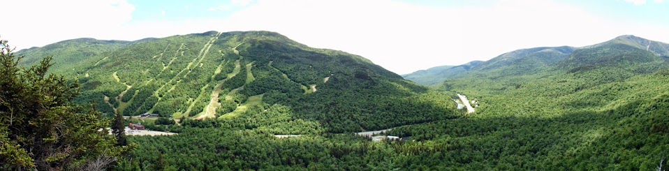
Hiking along the Gregg Trail you get this view of Crotched Mountain and it's long ridge line.

Views over to the Uncanoonuc's (left) and Joe English Hill (right).

Some wild flowers along the way.

Information on a wildberry patch right next to the trail.

You cross this grassy knoll with views in all directions.

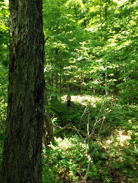
Once across the knoll, you re-enter the woods for a nice woods walk.

You head up some ledges just after the junction with the Bennington Trail to the summit.

Looking towards Mount Monadnock from ledges just below the summit.

Views of Pack Monadnock and North Pack Monadnock.

A communications tower on the summit of Crotched Mountain (elevation 2066').

One of the few views off of the summit looking towards Mount Kearsarge and Cardigan (behind it and to the left).

The moorings and site of the old fire tower.

A reverse view of the grassy knoll looking to Mount Monadnock.

On the way back down, I checked out the viewing platform at the end of the Gregg Trail.

From the viewing platform, there was this information board with names of the distant peaks.

Heading back down, looking back to Crotched Mountain.

While walking back on the Gregg Trail, I came across this baby porcupine. It was totally oblivious to the fact the I was right behind it and I got to about 5 feet from it before it ran into the ferns.

The third, and last, hike of the day was Winn Mountain in Lyndenborough, New Hampshire. I had wanted to hike this one after I had done Rose, The Pinnacle and Lyndenborough earlier this year, but ran out of time. Today would be the day that I would visit this little gem.
An old logging landing on my way up to the summit.

You follow this logging road/snowmobile trail up just about all the way up.

Approaching the summit of Winn Mountain (elevation 1686').

360 views from the summit. Very nice from this little peak.


Looking towards the Uncanoonucs and Joe English Hill from Winn Mountain.

Cell phone panaroma from the summit of Winn Mountain.

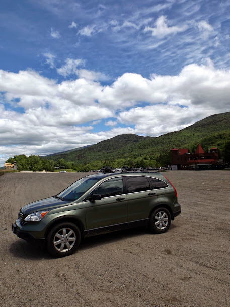
The start of the logging road/snowmobile trail that takes you up. It's at the end of Joslin Road with ample parking next to a house for sale.

A few extra miles for the weekend keeps me well on track for the 750 mile mark, as I am well over half way to my goal. Fox Forest was a little confusing as far as trails go, but it wasn't too bad. Crotched and Winn were very nice, enjoyable hikes. Both of the latter two hikes are very easy and family friendly with views to delight.
Already donated but want to do more? Can't donate but still want to help? "Like" and "share" our Facebook page. Even as little as a dollar helps. Even "sharing" with just one person does too by spreading the word. Our Donation Page is set up directly through the National Multiple Sclerosis Society website, so you can donate with confidence that 100% of the money goes to this fine collection of people working to help those stricken with MS.