Elevation gain: 2242'
Trails used: Deer Mountain Trail, Cohos Trail, Carr Ridge Road, bushwhack
We planned a overnight weekend for the North Country of New Hampshire for this past weekend. We rented a spot at the Ramblewood Campground in Pittsburg, New Hampshire so we were going to head up Saturday and hike, then overnight at the campground and then head home Sunday and do some hiking on the way back.
While we originally had a certain plan in place, it was shot down rather quickly (or perhaps NOT so quickly, but painfully slowly) so we reverted to our tried and true method: check the gazeteer or guidebook to see what was close, and go hike out and hike/bushwhack it.
Our first hike was to be up Deer Mountain in Pittsburg, New Hampshire. There used to be a fire tower that was in place in the early 1900's and operated for about 70 years. Only the steel frame still stands.
Deer Mountain is on the New Hampshire Fire Tower List.
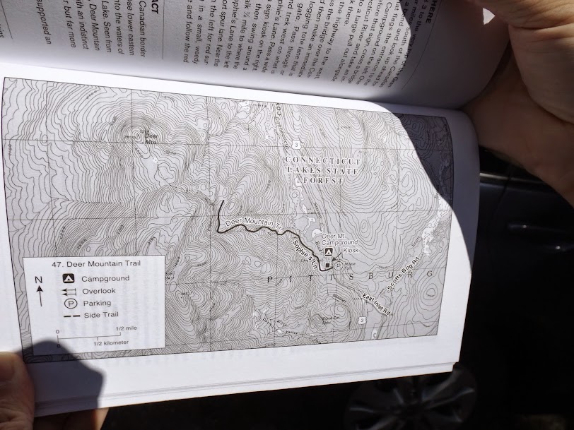
The guidebook showing the old route up to Deer Mountain. The trail actually now goes all the way to the fire tower site.
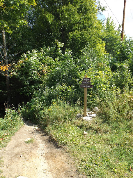
The Cohos Trail system starts you along the way to the start of the trail to Deer Mountain.

You have to do a road walk at the start of the hike but it was easy. By now the sun was out in force and things were starting to warm nicely.

Greg stops to check and make sure no traffic is coming before crossing the street (sorry, that is some Pittsburg humor for you!).
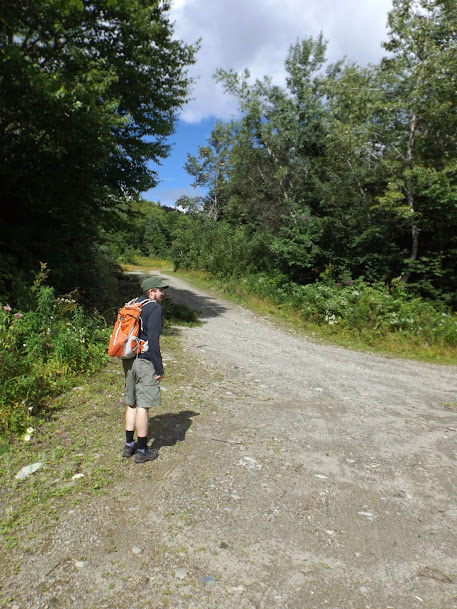
About a fourth of a mile down the road, we would branch off the road and start up the blue blazed trail to head to the summit.

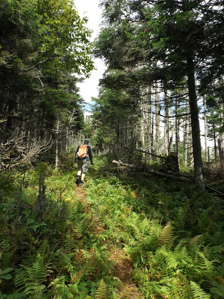
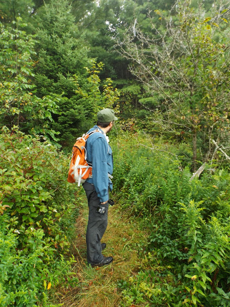
The trail has been cut fairly recently (in spots), so it is a bit brushy in several different areas, as Brian discovers for himself.

The trail passes this beaver swamp. It is possible the trail used to go through here. Thankfully that is no longer so as it skirts to the west side.

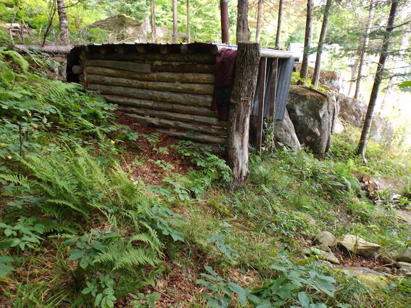
Before you get to the summit you pass by what was probably the area the old Fire Wardens hut was at. It is littered with a bunch of artifcats., like these old barrels and a box spring.


From the old fire wardens area. we start our short push up the ridge to the summit of Deer Mountain (elevation 2997').
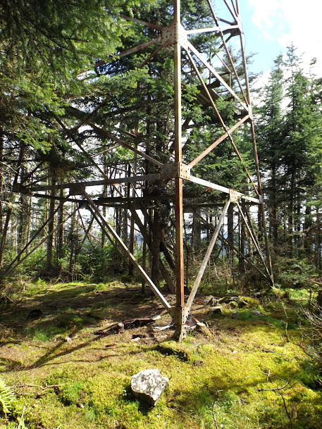
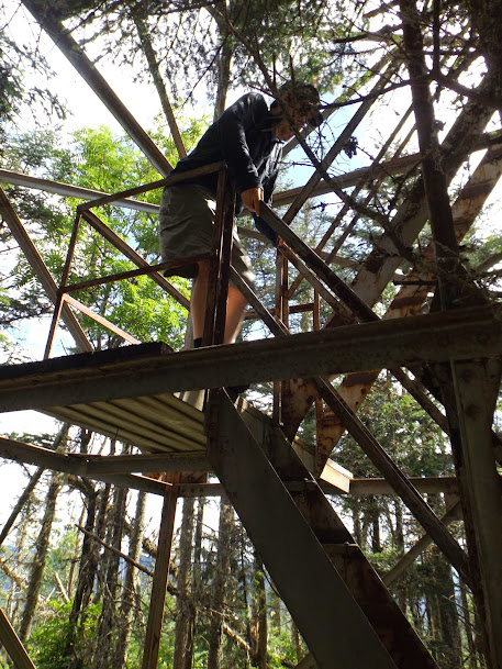
The old tower frame still stands (complete with a tree going right up through it.) There is no cab to it anymore, and the steps were missing.
That still did not stop Greg from trying to get some views (alas it was impossible.) He made it up one flight before his nerves got the best of him.
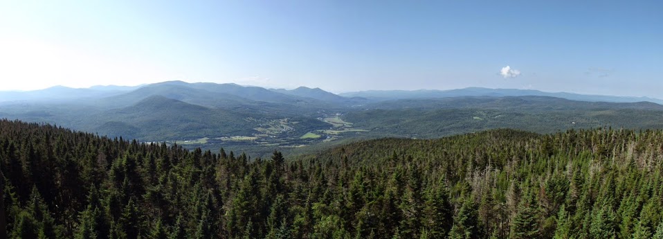
A short side path leads to a very restricted view but still a bit disappointing. Rumor has it there are attempts to restore the tower and if so, the 360 degree views from this summit would be quite awe inspiring!

Withouth much to see on the summit it was time to return the way we came. This section was most likely cut sometime not too long ago.
Take the long road (Route 3) that way to Canada!!! We parked across the street from a snowmobile/logging road just down the road from the Deer Campground.
By this point it was almost 1:00, which meant we could now check in at the Ramblewood Campground. We drove down the road and dumped a few things off at our home for the night (site # 14), that has a shelter they built to attract Cohos Trail thru hikers, as well as a fire ring and a picnic table. It was a neat site and well worth the $25 per night (hot showers available 24/7 too!).
Our intention was to now hike Prospect Mountain, which is also located in Pittsburg, New Hampshire. Prospect Mountain is along a section of the Cohos Trail. The young lady at the campground informed us we could have taken the trail up to Prospect Mountain (as it passes through the campground on its way to Covell Mountain). We instead opted for the shorter direction from the south off of Danforth Road.
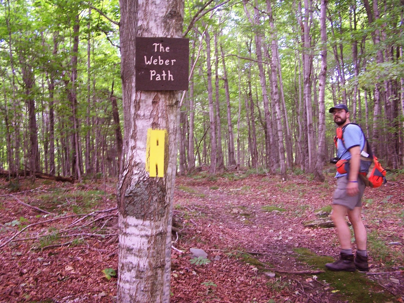
The start of this section of the Cohos Trail off of Danforth Road.

This Path is brought to you by Weber Grills!....OK, not really. The yellow blazes are prevalent for the Cohos Trail and this section is right next to a private residence.
This dilapidated structure (Mountain Bungalow hut) is right next to Bear Ledge Campground that you pass on the way up.
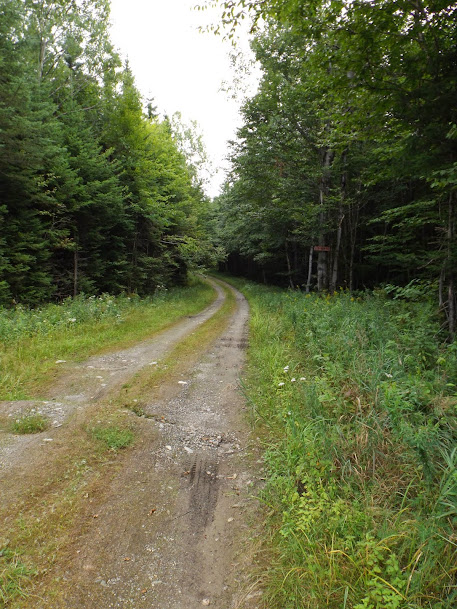
In a short distance you make another turn off an old overgrown road onto another old road and the Cohos Trail to Prospect Mountain.

The road/trail up is a bit steep but pretty easy walking.

The views from the summit of Prospect Mountain (elevation 2076') are amazing! It was apparently cleared out to make it attractive to a buyer with the intention of selling it as a house lot. Alas no one seems to have bought it, and it seems crazy considering the views.
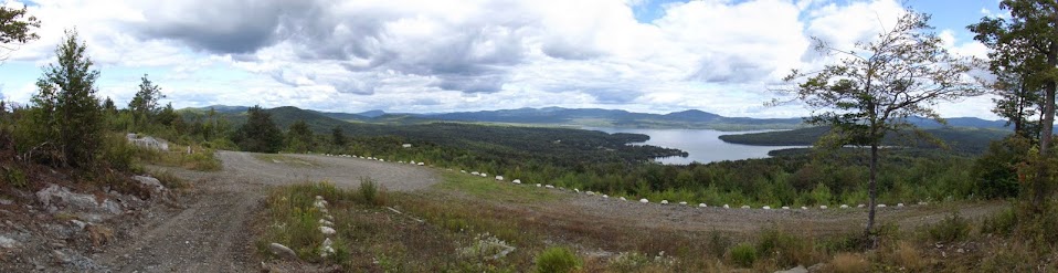


Parting shot of Lake Francis and over to Magalloway Mountain.

A quick hike back down to the car, and a glance at the guidebook, we decided to do the Lake Francis Trail that runs down the lake and would net us about 6 miles round trip. We started off at the parking area off of Carr Ridge Road (also a popular fly fishing area) but in the midst of talking, we missed the first turn and kept walking on the next logging road. Earlier, Greg was curious about a peak called Car Ridge, so we headed off that way since the road pretty much went up to just below the ridge.
They allow fishing along and off the bridge that crosses the Connecticut River that drains into Lake Francis. The water was flowing nicely today.

The road we walked down to start. If doing the Lake Francis Trail, when you come to the first two way, go straight. Don't turn left and then right like we did.
The road eventually branches off and turns into a snowmobile trail that was a bit grown in and with moose sign everywhere.

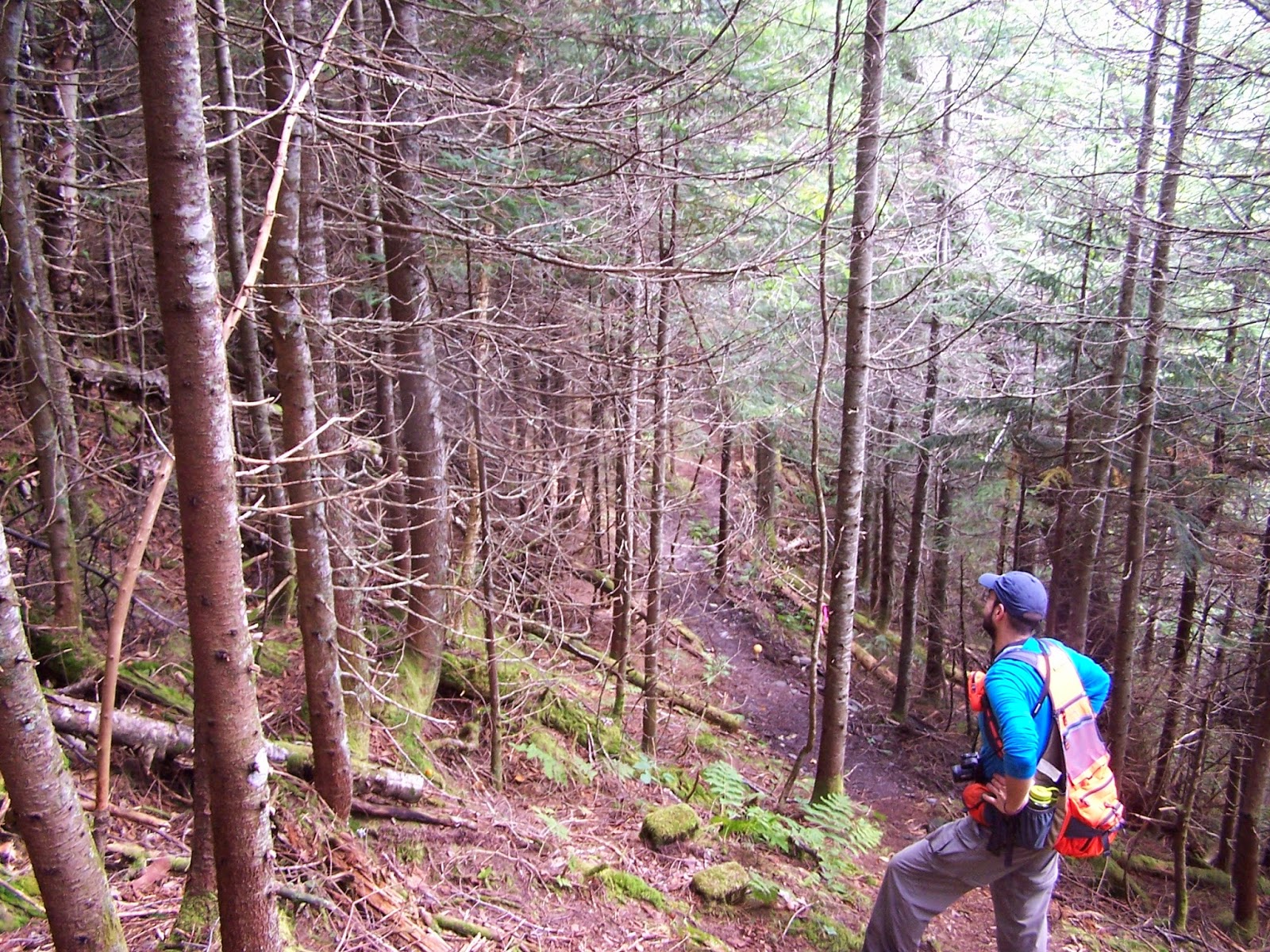
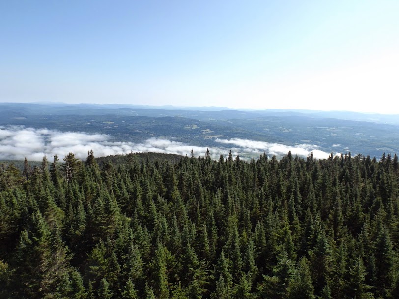
The only picture I got of the woods along the ridge. It was dark in most spots and my camera doesn't like trying to take pictures in the dark.

There were old logging roads that criss-crossed the long summit area of Carr Ridge so it made for some slow going in spots, since there was a mixture of open woods and wet muddy pits. There is possibly an old snowmobile trail that runs the ridge. There wasn't much else to see on this hike but we got an extra 4.3 miles out of it.
Mileage: 8.35
Elevation gain: 4282'
Trails used: Monadnock Mountain Trail, Mount Pisgah South Trail
We spent a pleasantly cool night at the campground. The stars were magnificent and out in force, and thankfully the place was pretty quiet. I can't say enough of how wonderful a place Pittsburg, New Hampshire is, and the starry views over the Connecticut Lake were quiet a joy. Since Greg and I had started our day at an ungodly hour we both were pretty much asleep before 10:00 p.m.
In the morning we packed up and decided to head into Colebrook, New Hampshire to get gas and re-fuel our stomachs and then we would head across the river into Vermont to climb Mount Monadnock, which we have wanted to hike for quite some time. But first....
...We spotted this little fella on the side of Rt. 3 in a wallow near Lake Francis.

Monadnock Mountain (not THAT Monadnock in New Hampshire) is located in Lemington, Vermont across the Connecticut River from Colebrook, New Hampshire. There is a fire tower on the summit and remains for the old fire warden's cabin are a few feet away.
Monadnock Mountain is on the Vermont 100 Highest and 200 Highest List.
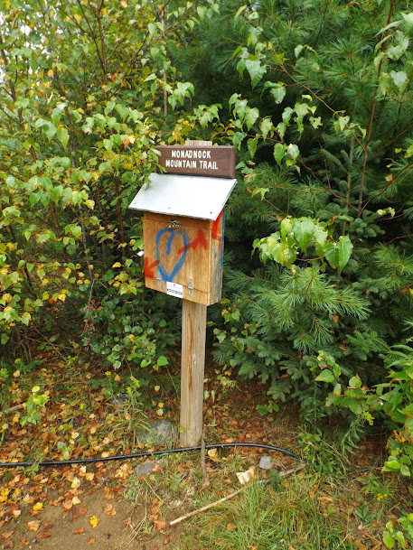
The Monadnock Mountain Trail starts from a parking area right next to a gravel pit off of VT Route 102.

Vermont loves you, I guess. The register you can sign in.
The trail at the start runs through a small meadow and is very grassy and enclosed.
The trail passes into the evergreen forest and becomes more like a real trail.

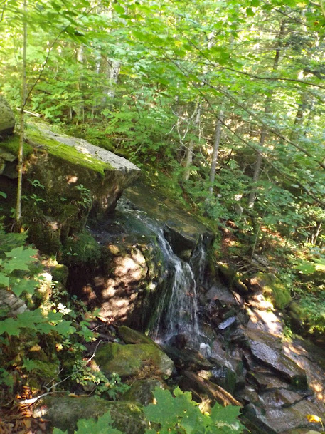
There are several cascades that line the side of the trail as you start to climb.
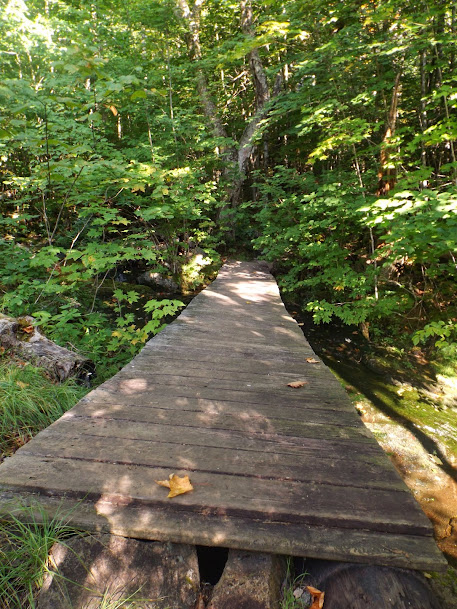
You get to cross this bridge, over a scenic brook, which can't seem to decide which way it wants to twist but it was still sturdy.
Now the real climb begins! Here Greg is taking a rest as from here on out it is a steady climb up to the summit area.

The trail goes on and on and on it seem's until it switchbacks right below the summit.

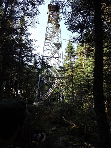
In about 2.5 miles you reach the summit of Monadnock Mountain (elevation 3148') which still has it's tower standing. It is a TALL fire tower too, which made for a very interesting climb into the cab.
The climb up the tower is worth every scary step, though! We got these views into Southern New Hampshire.
These views also of the rest of the Northeast Kingdom of Vermont and into Quebec.

The foundation remains of the old fire warden's cabin...

...and the old fire place/chimney.

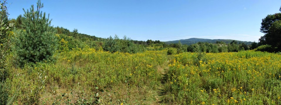
We spent some time in the cab enjoying the views and a wonderful breeze. Eventually we climbed down, returned back the way we came, and as we came close to the end we were treated to this meadow of Goldenrod.
Looking back towards the summit of Monadnock Mountain on the way out.

At this point we decided to stay in Vermont to hike so after a little browsing of the Vermont Day Hikers guide we picked another hike that had been on the to-do list for a while.
Mount Pisgah is located in Westmore, Vermont on the east side of Lake Willoughby. It was our understanding that the views were supposed to be nice, but as we would discover once there one man's great views is another's so-so views.
Mount Pisgah is on the Vermont 200 Highest List.
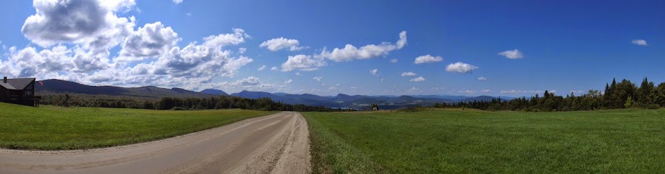
As we approached the Willoughby area, the road we were driving on suddenly offered this amazing view! Little did we know this was the last great view we would get for the day.
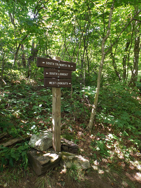
The trail for the south end was hopping today. Here we start out at the trailhead off of Vermont Route 5A.
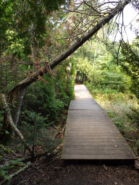
A couple of bridges make crossing through a swampy area much easier.
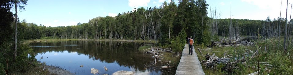
Alas, no moose in the water at this beaver pond..
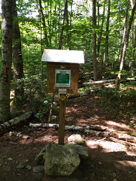
About 1/4 mile in is the log book you can sign into.
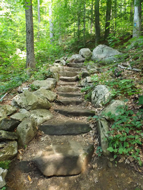
The trail is pretty well maintained and it is no surprise since it is so popular.

This sign right below the summit of Mount Pisgah. Sadly the views we thought were on the summit...well, were not on the summit.
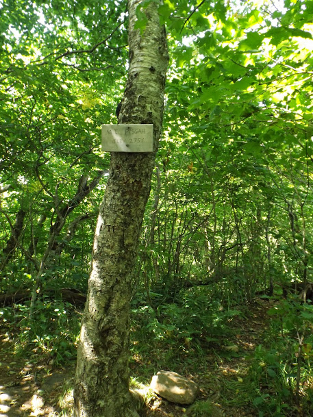
This is the view of the summit of Mount Pisgah (elevation 2785').
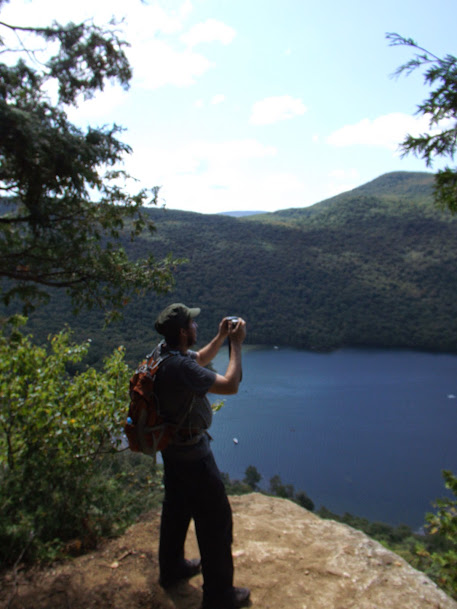
So the only views you get on this side of the mountain is from this ledge you pass on the way to the summit. (there are supposedly ledges on the West side too, but we went a short ways down and gave up as we were gtting tired and did not want to have to do the re-climb back to the summit and then back down to the car.)

On the way down, we came across Pulpit Rock with it's neat view down to the lake and across to Mount Hor. This is a peregrine falcon nesting area.

And that wrapped up our two day weekend trip. While we didn't manage to get done what we planned, we still got to get in some decent miles overall which is what we are doing this for in the first place.
It could have been a better weekend, but on the flip side it could also have been much worse (bad weather, horrible bugs, crowded trails, etc). Who can complain though? Any day not working is a good day.
Already donated but want to do more? Can't donate but still want to help? "Like" and "share" our Facebook page. Even as little as a dollar helps. Even "sharing" with just one person does too by spreading the word. Our Donation Page is set up directly through the National Multiple Sclerosis Society website, so you can donate with confidence that 100% of the money goes to this fine collection of people working to help those stricken with MS.
Brian says "thumbs up to all who donate, or like and share on Facebook!" Hey, even if you like being silly, like our page!
