Elevation gain: unknown
Trails used: unnamed trail (Mt. Prospect Trail).
I had the day off from work as I had to work Saturday so I was going to try to make the most of it and make it a multiple peak kind of day and get some good easy mileage in. After reading some various trip reports on different websites and looking at maps, I decided I would do Mount Prospect first and then do a few more peaks as time permitted. Setting out for the hike, it was a bit on the cool side but it was comfortable and definitely better than hiking in hot humid conditions.
Mount Prospect is located in Holderness, New Hampshire. There is an un-named trail that runs up to the summit and part of the hike loops around to some ledges just below the summit.
*You probably noticed it right off the bat but if not, there are no mileage or elevation numbers listed for this hike. I couldn't figure out why since I had tracks ON on the GPS and I could have sworn I saved them after the hike but alas, they were gone. So instead of cheating myself with pseudo numbers, I'll do Prospect and Bald later and add the miles on when I re-do them.
The trail head is right where these two cement blocks are right off of Mt. Prospect Road. There is enough parking for a few cars to park.

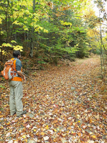
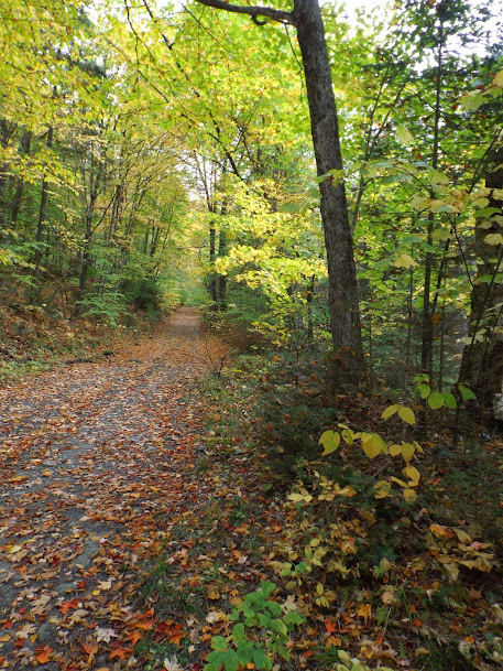
The trail down low is pretty wide and easy to follow.

Still wide and easy to follow. I noticed that several people had used mountain bikes as evidenced by the weird tracks in the leaves when they were braking.

The summit of Mount Prospect (elevation 2064'). The summit itself is off the trail a bit and wooded. The views are on the loop part of the hike.

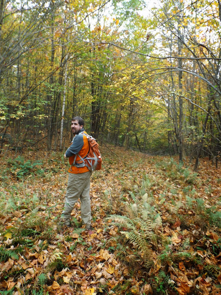
The trail was easy to follow, even with all the leaves down. This nice section was coming down off the summit towards the first set of ledges.

Views from the first ledges below the summit of Mount Prospect looking towards the Squam Range (foreground) and Belknaps (background).

The views from the lower ledges were almost identical to the upper ledges and these were looking towards the western end of the Ossipee's.

Very well maintained and easy to follow trail made this a very enjoyable hike.

Heading down the trail and going back to the car. Overall it was a quick hike up and back down. Believe it or not, but I did cross paths with a trail runner coming down as I was headed up to the summit. I would see no one else the rest of the day.

Mileage: unknown
Elevation gain: unknown
Trails used: unnamed trail (Bald Mountain Trail).
My second planned hike was another peak that has an unofficial trail that runs to its summit and was about a 20 minute drive from the previous hike.
Bald Mountain is located in Campton, New Hampshire. This is part of the Parker Family Trust Conservation Easement and managed by the SPNHF (Society for the Protection of New Hampshire Forests).
I parked right outside of this old forest road on Cook Hill Road.

While the trail is maintained, there was only flagging in spots to guide you along. It's not that tough to figure out where to go though.
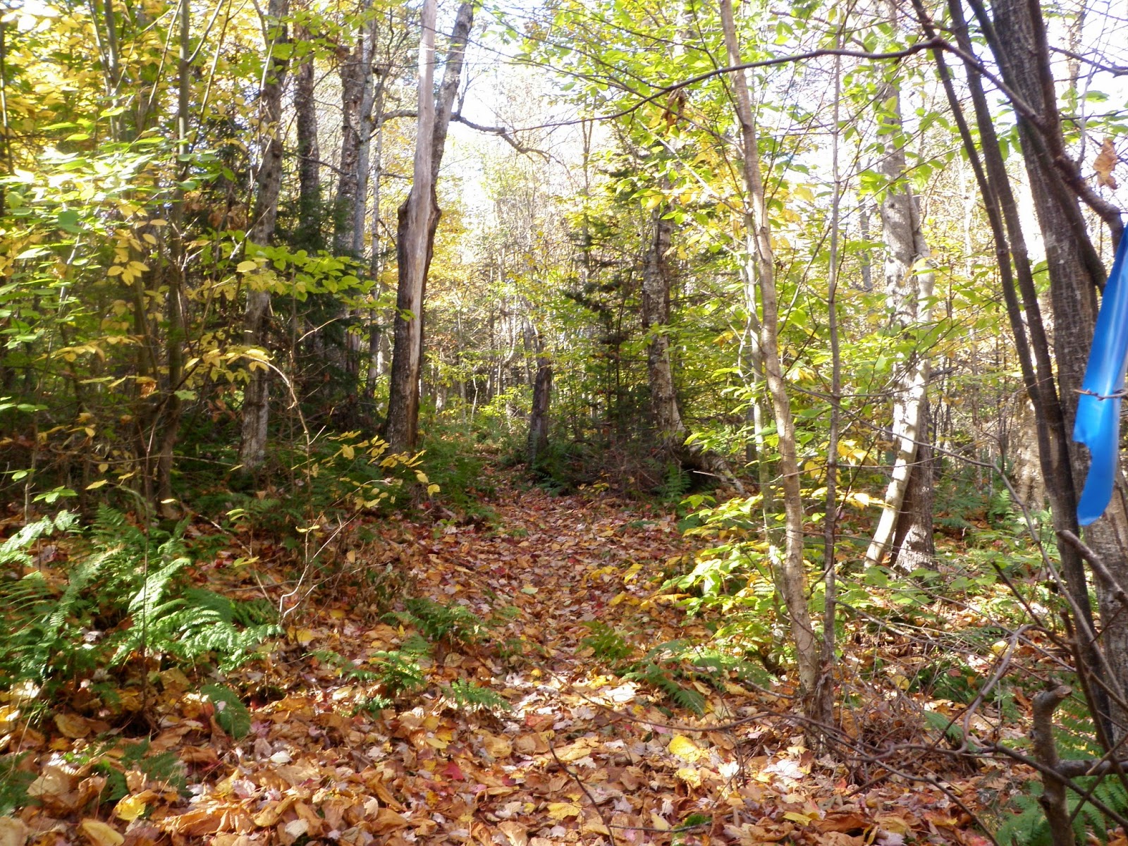
The only spot in the trail that you actually had to stop and check where to go.

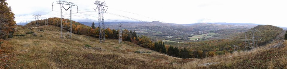
The views south from the summit area of Bald Mountain looking towards the Tenney Mountain Wind Farm, Mount Crosby to the right and Mount Cardigan in the background.

Carr Mountain peaking out from behind the trees.

The summit for Bald Mountain (elevation 2204').

A nice moose area coming down from the summit of Bald Mountain. I could see where moose and deer had moved through the area recently.

On the way out. A nice walk in the woods and some okay views from the summit.

Mileage: 2.05
Elevation gain: 965'
Trails used: none. Bushwhack, roadwalk.
The third and final hike of the day was down the road a bit from Bald Mountain. I had zero information on this one but I did know there are no official trails that go to the summit so it would be a steep bushwhack.
Downing Mountain is located in Ellsworth, New Hampshire which is near Stinson Mountain/Lake.
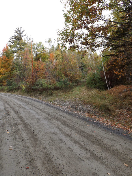
A forest road off of Stinson Lake Road that I would use to hike into and start my bushwhack up to the summit of Downing Mountain, which is in the middle of the picture.

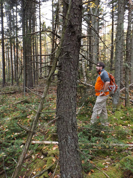
Typical open woods heading up to the summit. It was very steep to start and very rocky.

Still steep as it climbs about 900 feet in about .60 miles.

Hiking along the summit plateau with nice woods.

The summit of Downing Mountain (elevation 2091').

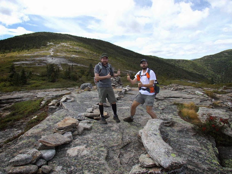
Just below the summit was this view ledge, complete with cairns. This is looking towards the long ridge of Carr Mountain.

Looks towards Stinson Mountain (left), Stinson Lake and Mount Cardigan in the distance (center, background).

I found an unofficial trail that goes towards Stinson Lake but only followed it for a short bit as it was headed in the wrong direction. I found this old logging cut about halfway down, which I used to hike to a snowmobile trail and then Stinson Lake Road.

Walking the short distance down Stinson Lake Road back to the car. Fall is most definitely here. I saw several cars driving through this road and stopping to take pictures.

A nice three peaks on a slightly cooler fall day. I spent a few minutes driving around getting some information on other peaks nearby so it pretty much killed any time I had left to hike. The bummer was I didn't get the date for the first two hikes so while it's not a total buzzkill, it would have put me that much closer to the 750 mark. Hey, at least I had the day off on a really nice day!!
Already donated but want to do more? Can't donate but still want to help? "Like" and "share" our Facebook page. Even as little as a dollar helps. Even "sharing" with just one person does too by spreading the word. Our Donation Page is set up directly through the National Multiple Sclerosis Society website, so you can donate with confidence that 100% of the money goes to this fine collection of people working to help those stricken with MS.