Elevation gain: 2670'
Trails used: Bushwhacks, logging roads, auto road.
With 2 peaks left to go on the New Hampshire 300 highest list, we decided to knock off one more peak plus mix in some firetower peaks as well, since there were a few in the area we would be hiking.
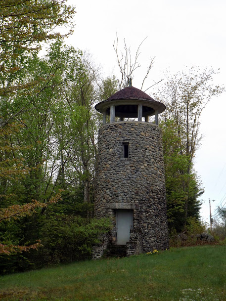
The first stop of the day was an easy firetower grab. Years of driving by a stone tower on the side of Route 2 in Jefferson, New Hampshire had always made one wonder why it was there. Turns out it was once used by the Carter Family to watch for fires along the railroad tracks, which they would then rush to and beat out with brooms. The tower, built around 1897, is still in remarkable condition, but is not open to for one to climb.
The stone fire tower right off of Route 2.
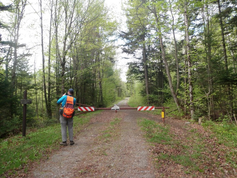
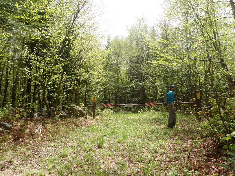
"Knock, Knock!" Greg can't get in.

Next up was Square Mountain, which is in the Kilkenny region of the White Mountains. This 2735' peak has no trail to it, though a number of old logging roads and snowmobile trails will get you really close. From there it is a semi- steep bushwhack to the summit, which has some wonderful ledge views.
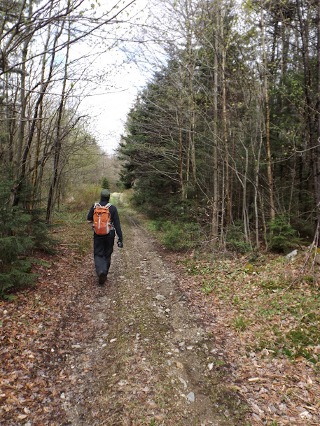
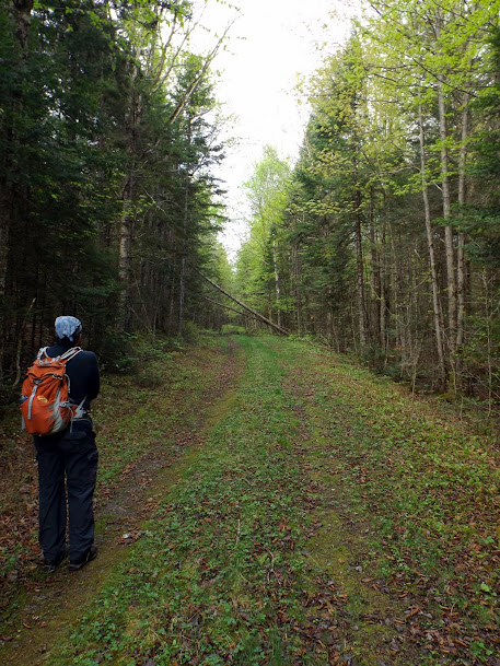
Starting out on the snowmobile trail. This is also trail that goes over to York Pond Road.
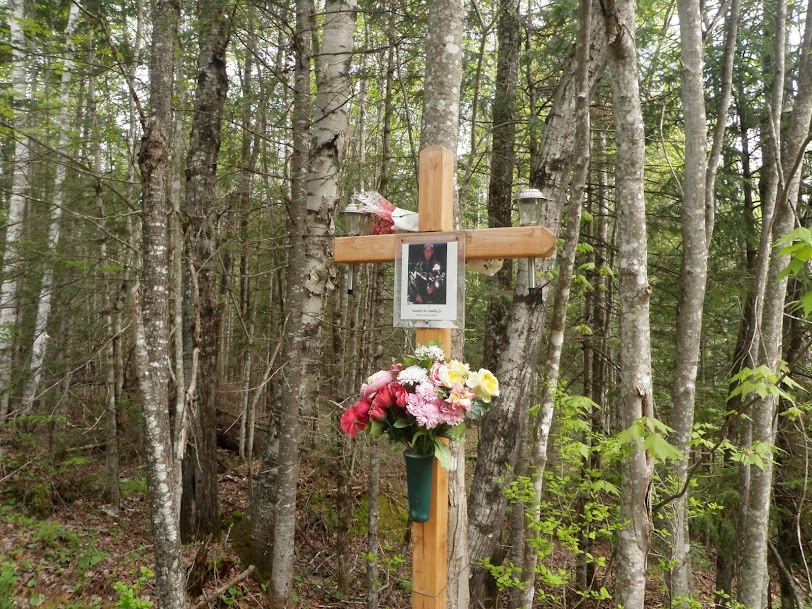
A memorial for a local snowmobiler, who passed away, at one of the snowmobile trail junctions.
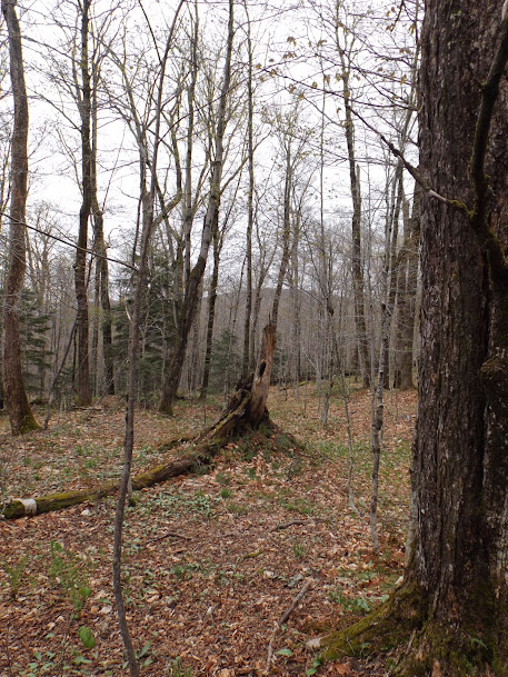
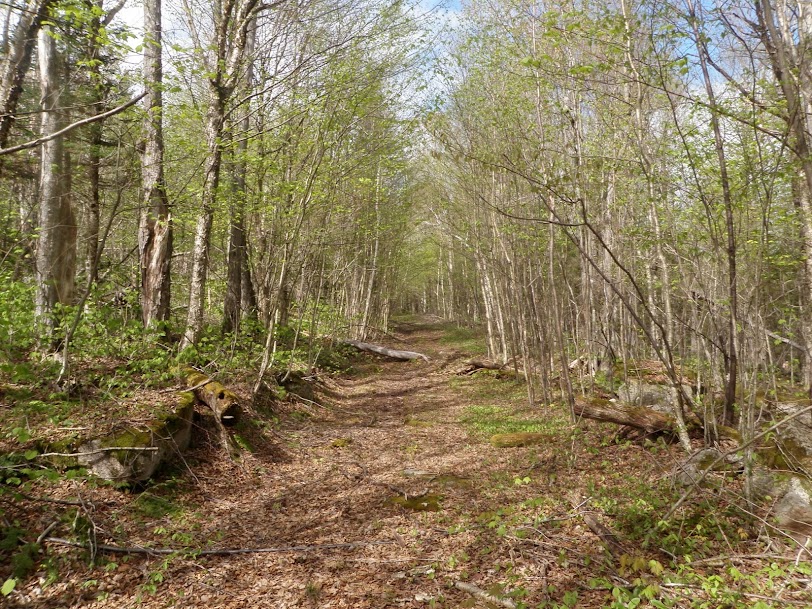
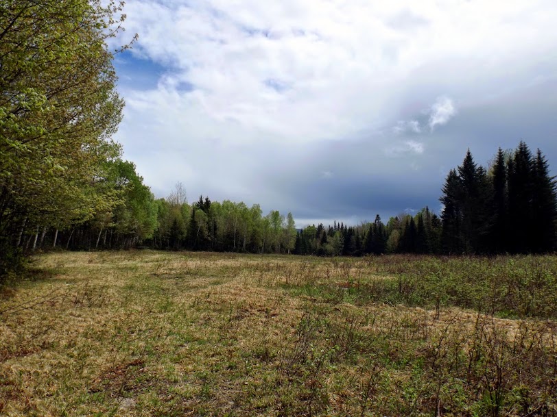
The old logging road slowly gets a bit more grown in as you head along it and steadily heads up in elevation.
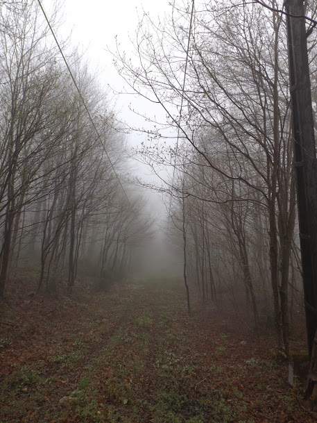
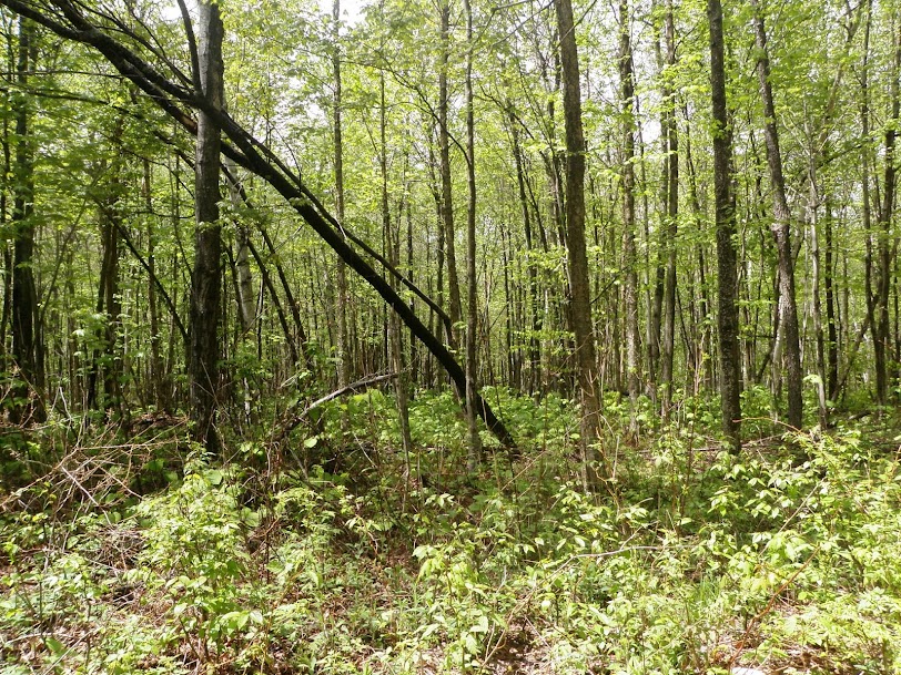
It's even MORE grown in as we approach the area where we would start the bushwhack.
Time to head into the woods and that's exactly what Greg does!
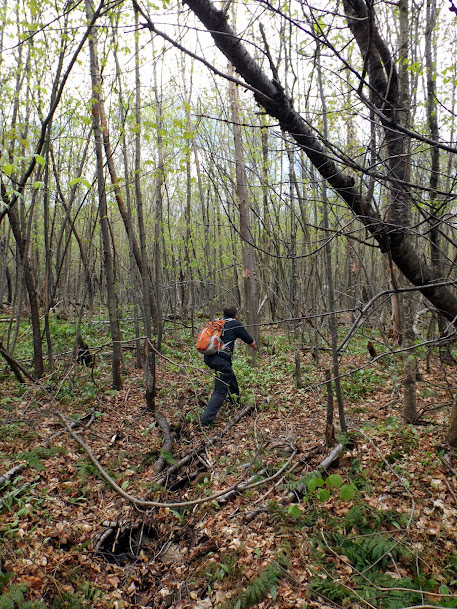
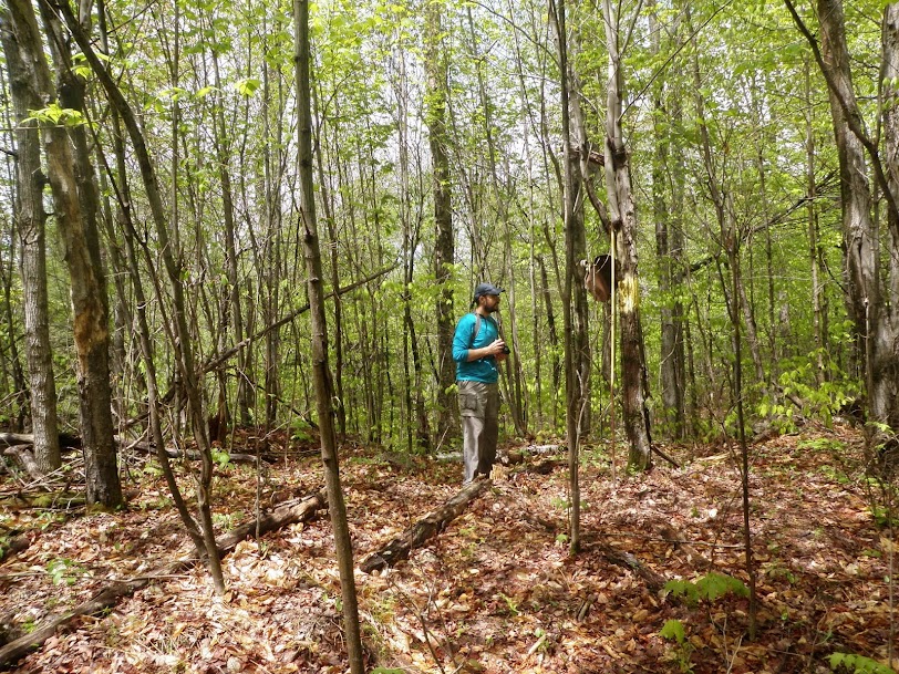
The woods were open on the way up to the summit and then it also gets steep to boot!

The actual summit of Square is not very exciting, except for the yellow X spray painted on the rock.
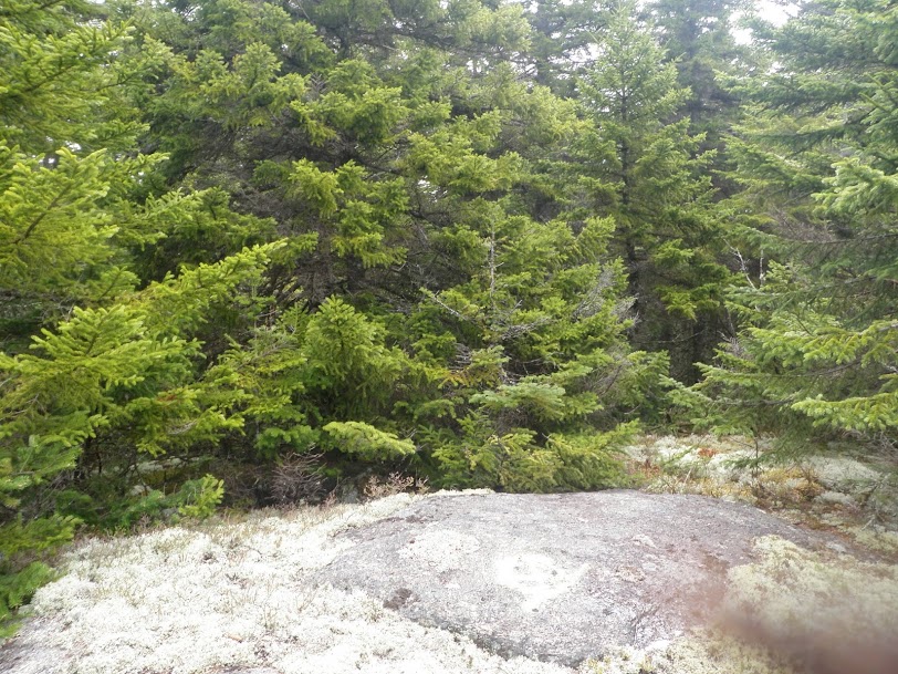
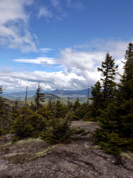
However, the nearby ledges provided us with a different level of excitement and views. Roger's Ledge is in the foreground.

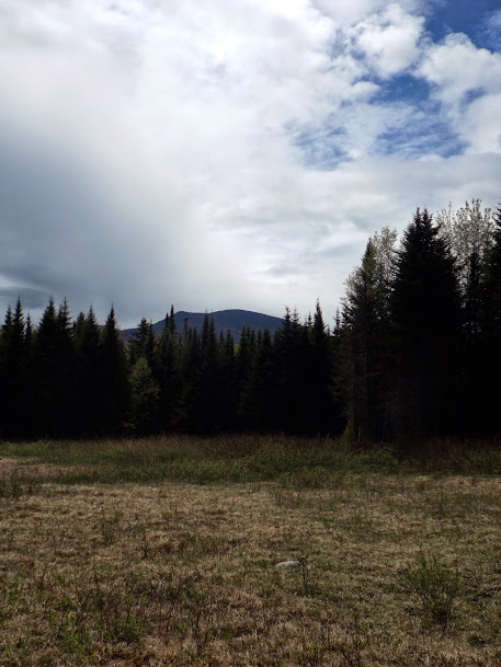
The Percy's made an appearance through the clouds. Round Mountain is in the foreground.
We reversed direction back down to the logging road which made for a quick hike back to the car.
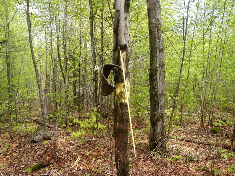
Next up was Jodrie Hill (elevation 1640') located in Milan, New Hampshire. This peak once had a wooden firetower, but no longer. Built in 1925 it was meant to replace the tower that once stood on Cambridge Black, but was itself replaced by the one that still stands on Milan Hill a short distance away.
A note of caution on this one: we managed to get to the spot without crossing anyone's yard, nor did we encounter any posted property. However, it took some creative zigging and zagging to avoid people's back yards. Please be courteous and respect the landowner's property for this hike.
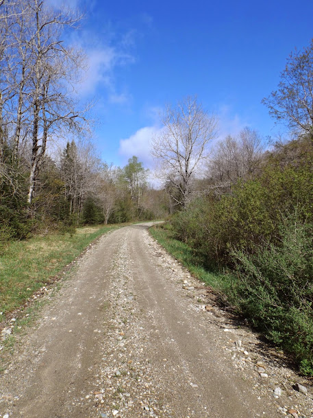
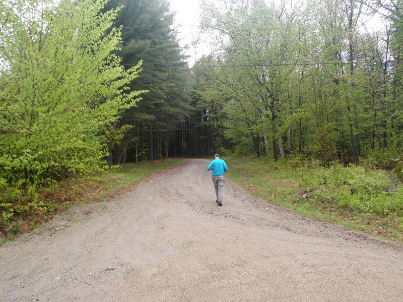
This is where we parked and then headed up this road to start the bushwhack.
On the summit we found four holes drilled for foundation poles. But no other remains were present.
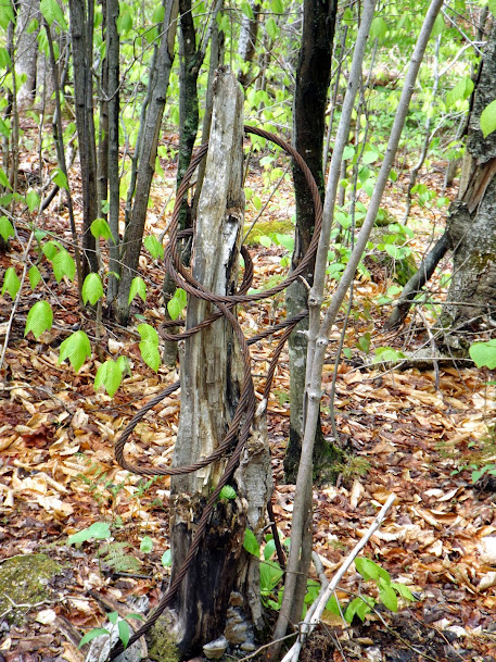
The next firetower peak would be Lonesome Ridge, located off Bog Damn Road, in the York Pond area. This wooden fire tower was built in 1938 to watch over logging operations in the area, and was only in service for a few years.
We were lucky to find an old Forest Service road which would get us most of the way, but a short bushwhack was still required to get to the high point and the remains.
We started off of Bog Dam road by using this forest service road.
A logging landing offers some nice views.
The closest point to the old fire tower location from the road is about .25 miles. Thankfully the woods are nice! The bugs, not so much.
A few remains of the fire tower dot the area.

Brian at the site of the remains of the Lonesome Ridge fire tower. Not visible are the 4 holes where the wooden beams onces held the tower up.
After grabbing some food in Gorham (Mr. Pizza, yum!) it was off for one last short trip for the day.
Mount Agassiz (elevation 2378') in Bethlehem, New Hampshire once had a view tower built by the private owners that was eventually added to the roster of active towers. No longer in service the summit still has a home with an auto road to the summit open only to foot traffic. This last peak of the day would also be a race of sorts, to beat the weather moving in to get views from the summit.
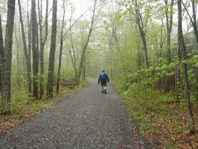
Except for a short soaking on the way out from Square, we were fortunate to have no rain fall on us to this point. But the skies were looming dark, and sounds of thunder way in the distance signaled something big was coming.
The start of the old toll road that we hiked up to reach the summit.
Brian heading up the road. Still dry to this point.

Foot traffic/hikers are welcome to walk up the steep road.
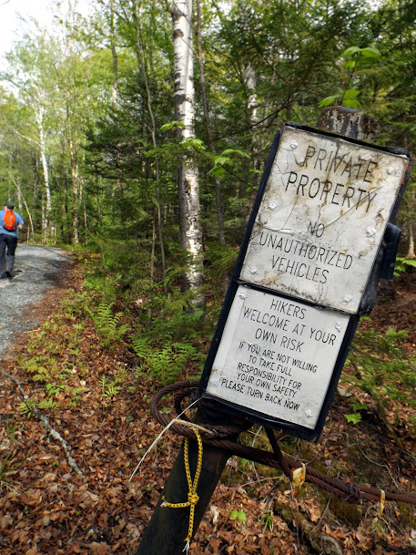
The old home on the summit. Please respect their property.
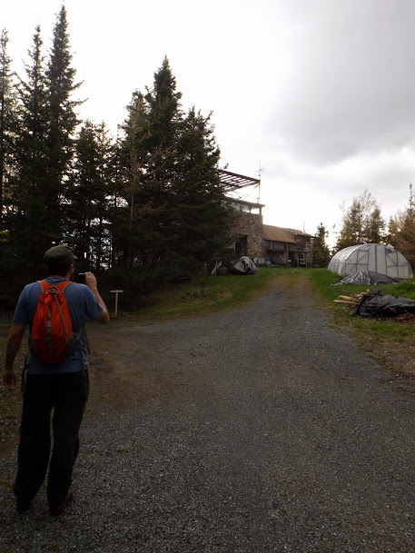
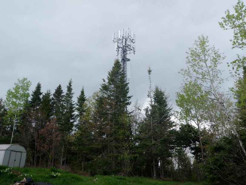
There is also a cell tower on the summit.
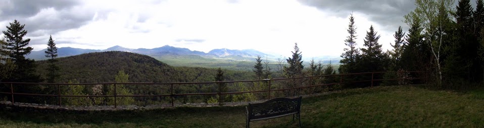
The nice view from a clearing near the home, complete with a metal bench to take it all in.
What we believe are the remains of the origional tower or some other structure that was on the summit.

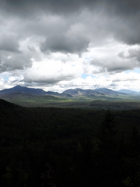
The skies are looking evil over near North Lafayette, Cannon Mountain and the Franconia Notch area.
Alas we did not beat the rain as it started raining just as we left the summit. It came down in buckets before we could get back to the car.
Despite the predictions from the weathermen, the day turned out to be very pleasant minus the short rain at the end of the hiking day. It was, for the most part, mostly sun, with blue skies and great temperatures. This was a nice mileage day to kick off the Memorial Day weekend.
Already donated but want to do more? Can't donate but still want to help? "Like" and "share" our Facebook page. Even as little as a dollar helps. Even "sharing" with just one person does too by spreading the word. Our Donation Page is set up directly through the National Multiple Sclerosis Society website, so you can donate with confidence that 100% of the money goes to this fine collection of people working to help those stricken with MS.
Brian says "thumbs up to all who donate, or like and share on Facebook!" Hey, even if you like being silly, like our page!