Elevation gain: 3318'
Trails used: logging roads, snowmobile trail, bushwhacks. Thorn Mountain Trail. Sentinel Mountain Trail.
Joe would be joining us (and driving) for this day of hiking, as he had interest in doing Currier Mountain again and wanted to visit Thorn Mountain. The weather started off pretty cold and it was overcast, but forecasts had it being partly sunny later in the day. Alas, it was not to be...
Currier Mountain is located in Lows and Burbank Grant and is part of the Dartmouth Range. It once had a fire tower that was built in the logging boom in the early 1900's. There is very little remaining of the fire tower save for some artifacts and wire on the summit.
Currier Mountain is on the New Hampshire Fire Tower list.
Currier Mountain is on the New Hampshire Fire Tower list.
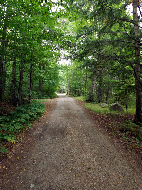
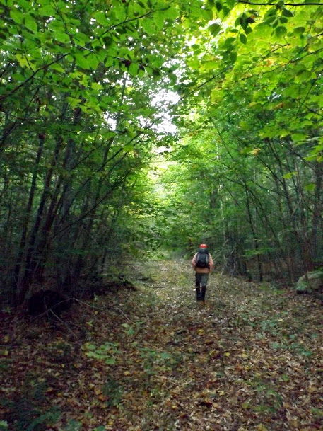
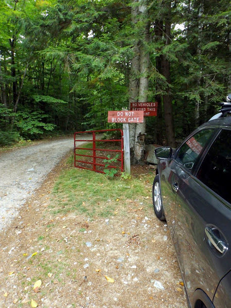
We started at this gated road off of Mill Brook Road, which Joe had used to access Currier Mountain before.
The parts of the road that we did walk on were a little wet in spots; otherwise, the road was in pretty good shape. Joe up ahead looking for moose.
At one point we connect to this snowmobile corridor.
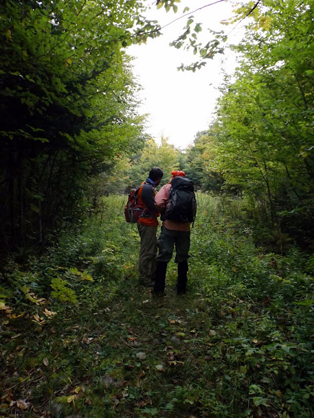
Greg and Joe consult each other about the route, or so they say. Secretly I think they are saying "Should we tell Brian we are lost or not?"
Joe and Greg start making their way up an older logging road/cut.


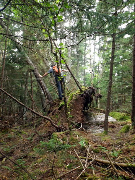
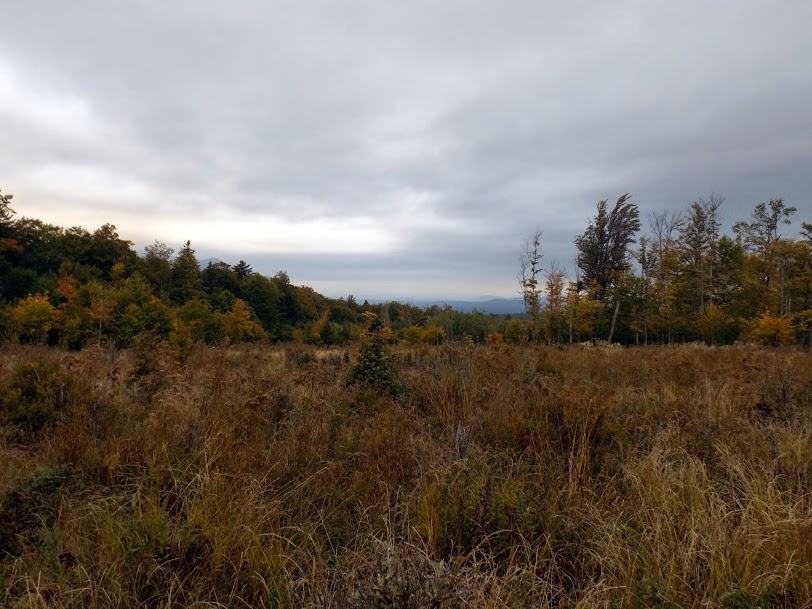
Eventually we would find a large logging cut that was very wet and muddy. Under better circumstances there are probably some decent views to be had.
We find a road (or super herd path) and take it towards the summit.

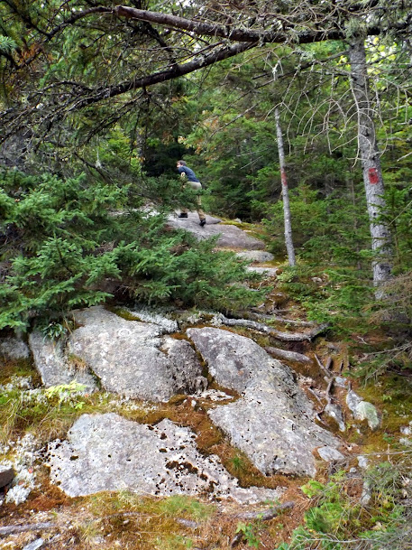
Here we are approaching the summit of Currier Mountain.
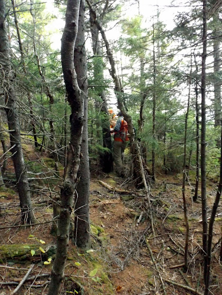
Near the summit are a couple of ledges with some views that should be decent, but not so hot on this very overcast day.


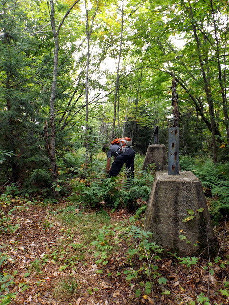
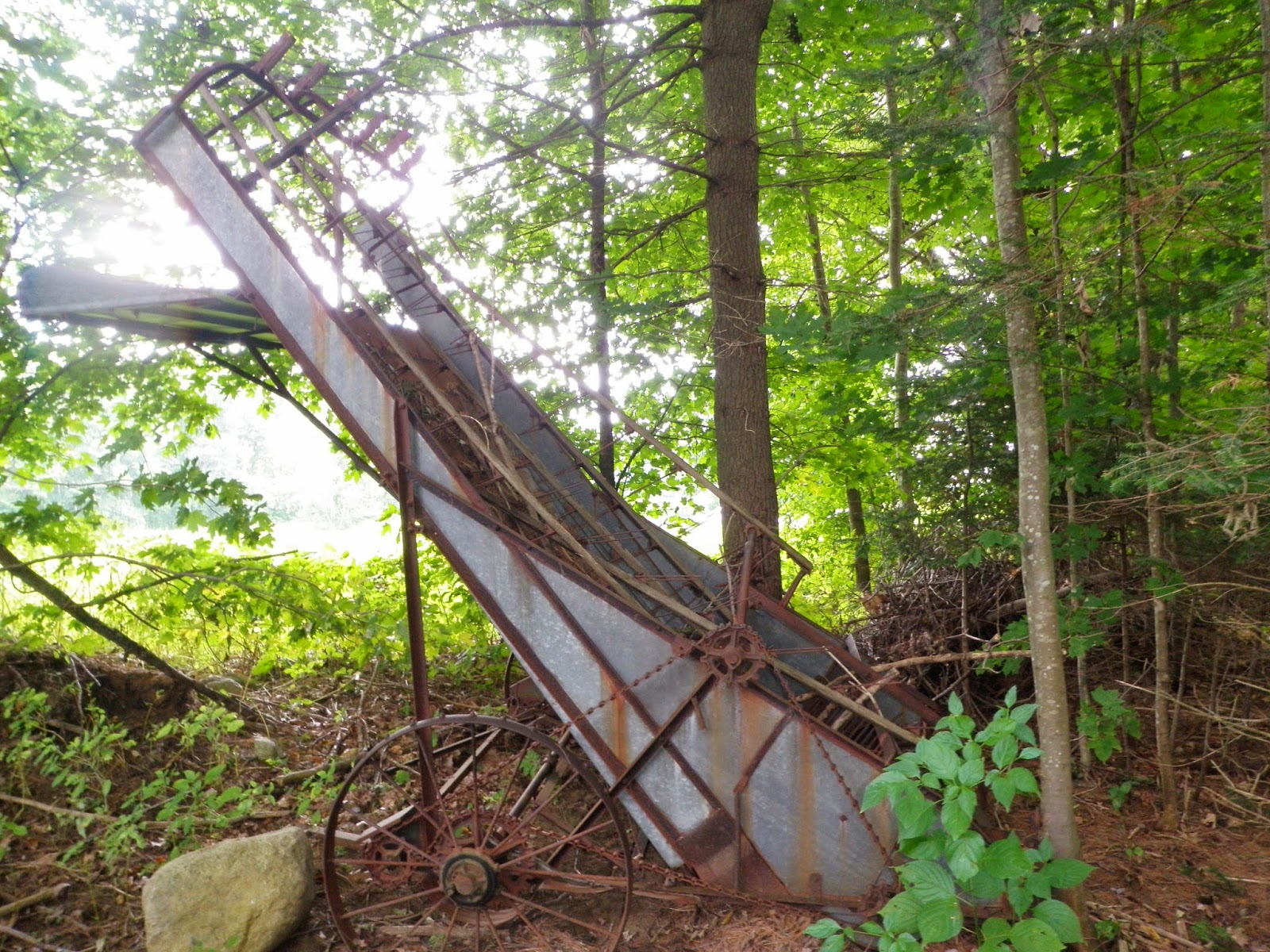
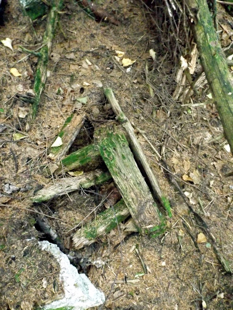
At the summit we find some old artifacts. Here is some kind of old wooden bench.
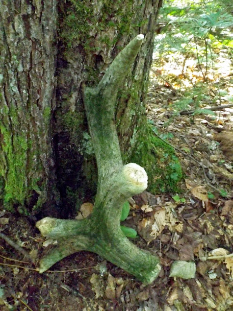
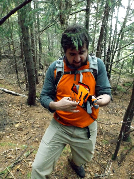
Scattered around the summit we found a bunch of wire, some of which Greg is holding.
Once again back at the old logging cut we once again jumped knee deep into the wet and mud, and still not a decent view to be had.
After a quick hike out on old logging roads and snowmobile trails, we were on to the second planned hike of the day and one that Joe has wanted to do for some time now. The only thing that made this hike worse is that the weather never improved as the day wore on so our chances of having nice views was reduced to very little.
Thorn Mountain is located in Jackson, New Hampshire. A ski area once resided on this mountain and for some interesting information, go here http://www.nelsap.org/nh/thorn.html. There are also some interesting ledges on the summit that would offer super nice almost 180 views on a crystal clear day.
Thorn Mountain is currently not on any official hiking list.
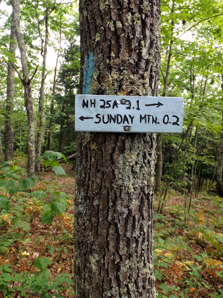
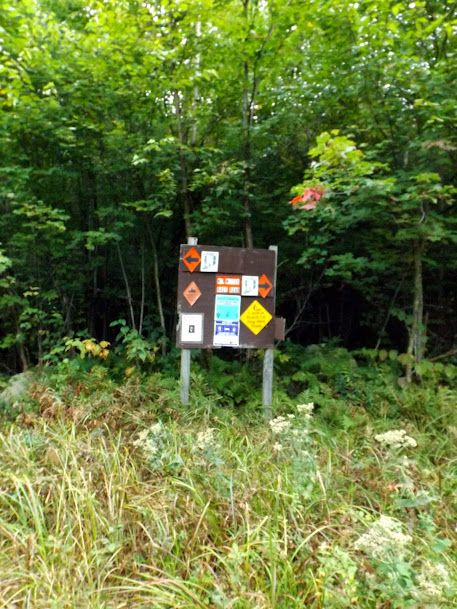
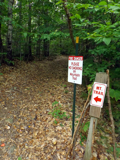
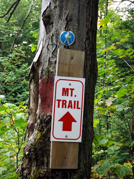
The sign at the start of the Thorn Mountain Trail.

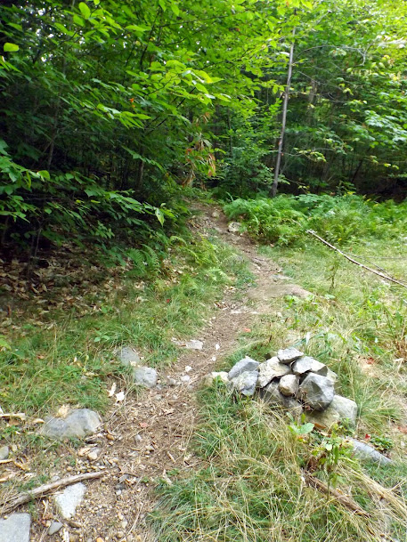
The trail heads up the mountain and is in good shape, complete with red blazes.

The trail up was also pretty steep in spots as Joe and Greg are finding out.

Nearing the summit of Thorn Mountain we start to see more rock and ledge, but it still manages to stay just as steep.
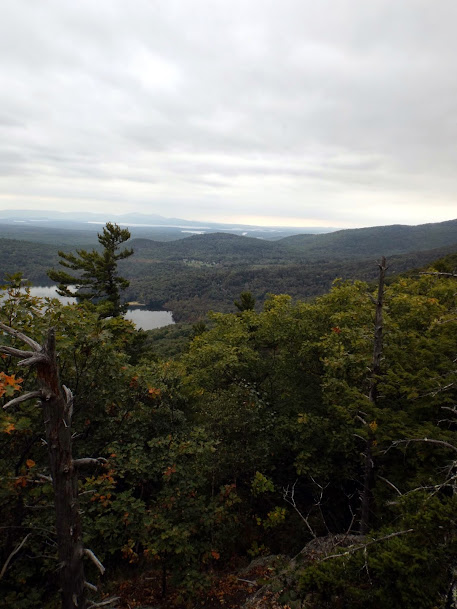
The views from the ledges just below the summit of Thorn Mountain (elevation 2282') offers decent views or rather, they should be under better circumstances.
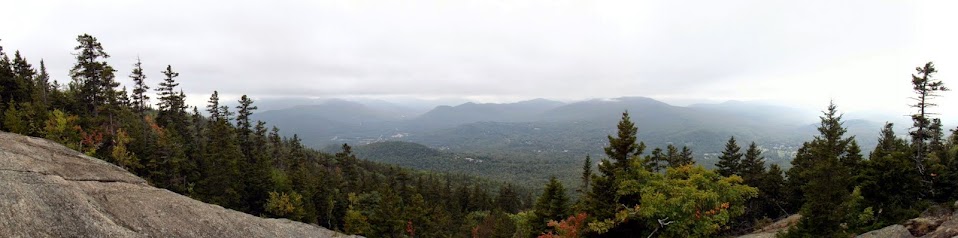
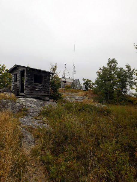
On the summit are some remains of the old ski area, as well as a Mount Washington observatory weather station.
Another quick knee busting hike down and we were off to our third planned hike of the day, which was thwarted due to property issue/access so a quick look at the Gazeteer had us looking for the trail head for Sentinel Mountain.
Sentinel Mountain is located in Tuftenboro, New Hampshire and is part of the Ossipee Mountains.
Sentinel Mountain is on The Ossipee 10 hiking list.
The start of the trail up to Sentinel Mountain is just a bit more up the road, but this is where you have to park.
It is a good thing Mike was not with us today! A hike without a smoke for Mike is blasphemy!
The trail is pretty well marked and even has the occasional cairn.
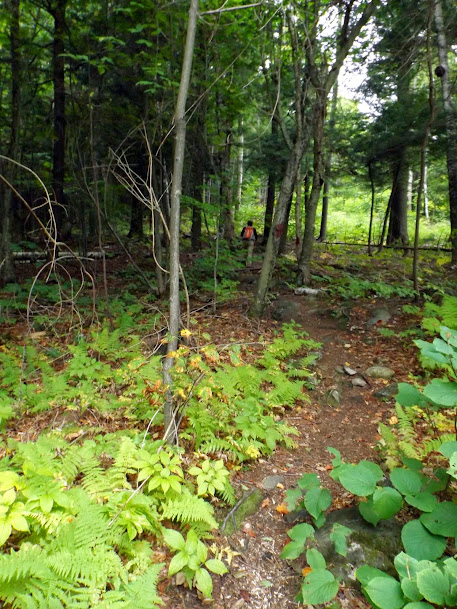
Greg up ahead in along this section of trail which has a nice and homey feel to it.
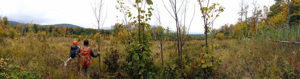
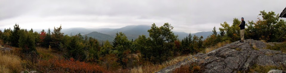
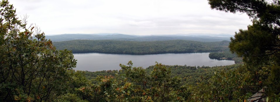
On the summit of Sentinel Mountain (elevation 1680') there are some nice viewpoints. Too bad for Joe, we are batting 0 for 3 in the nice views department.
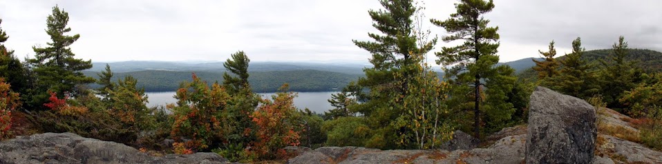
Dan Hole Pond from some ledges on the summit of Sentinel Mountain.
Copple Crown and Moose Mountains in the distance.
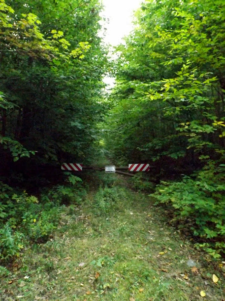
On the way back down to the car, we came across this sign which had a unique hiking marker above it.
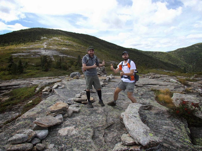
Overall it was a nice mileage day but for views, it didn't go that well. All 3 hikes could/would have decent or nice views from various points on the hikes. Hey, you win some and you lose some. It's always nice when we get to hike with Joe.
Can you believe it? Fall is here too!!
Already donated but want to do more? Can't donate but still want to help? "Like" and "share" our Facebook page. Even as little as a dollar helps. Even "sharing" with just one person does too by spreading the word. Our Donation Page is set up directly through the National Multiple Sclerosis Society website, so you can donate with confidence that 100% of the money goes to this fine collection of people working to help those stricken with MS.
Brian and Greg say "thumbs up to all who donate, or like and share on Facebook!" Hey, even if you like being silly, like our page!