Elevation gain: 3507'
Trails Used: Appalachian Trail.
Still on the mend and requiring something that did not require carrying a lot of gear, Brian tossed around some ideas figuring on heading out alone again. But when he mentioned the words "Appalachian trail" Greg jumped on board without hesitation. This would be a cold winter day hike for pretty much the entire hike.
We chose to do the very first part of the New Hampshire section by literally starting on the Vermont side of the bridge that crosses into Hanover. We first spotted a car at the Goose Pond Road crossing where a small parking area is plowed and intended to go from Hanover, over Velvet Rocks to Trescott Road. From Trescott Road we would next hit Etna-Hanover Center Road followed by Three-Mile Road. From Three-Mile Road we began our climb up and over Moose Mountain and then back to the spotted car at Goose Pond Road.
The Moose Mountains are about eight miles long and are located to the east of Hanover, New Hampshire. It has two summits, north and south, with the northern summit being the higher of the two.
For our non-hiking readers, a brief history of the Appalachian trail is in order. The trail is about 2200 miles (it varies from year to year due to occasional reroutes, so an exact figure will always be notional) and runs from Springer Mountain in Georgia all the way to Mount Katahdin in Maine. It was the brainchild of Benton MacKaye, an avid hiker, who as part of a Federal initiative proposed the idea of a long distance trail along the spine of the great Appalachian mountains. The first section was opened in 1923 and has been in use ever since. Every year thousands of people set off from Springer Mountain (called NoBos for "North Bound") or from Katahdin (called SoBos for "South Bound"), but only a dedicated fraction of that number make the whole distance. It takes a determined soul to walk every day for 2 to 6 (sometimes more) months to reach their goal. For those not as determined there is the option of section hiking (doing it in sections at different times), which we would do for 15 miles this day.
This is a nice introduction for hikers of the varied terrain in New Hampshire.
The Connecticut River is frozen on this cold day as we cross the bridge from Norwich, VT into Hanover, New Hampshire.

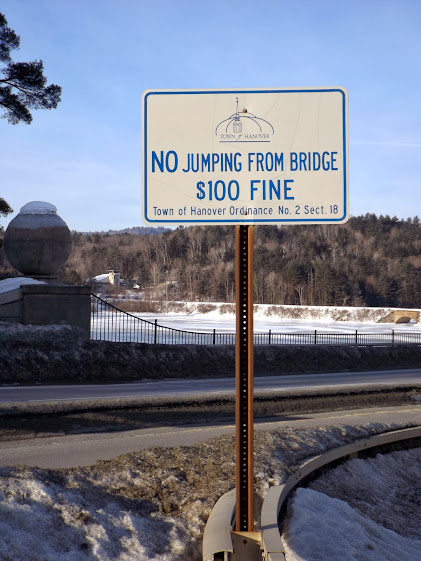
Try that today anyway and you are liable to just bounce off the ice.
Downtown Hanover. Hanover is home to Dartmouth College and the Dartmouth Outdoor Club. Some of the trails created by the DOC in the early 20th century became part of the Appalachian Trail in the Upper Valley of New Hampshire. The DOC maintains 75 miles of the AT between Woodstock, Vermont and Woodstock, New Hampshire.

Bras hanging from trees. Is it art? Or silly co-eds? It IS a college town after all!

Hey, we found summer!!!! (too bad it is the wrong kind of summer)

Finally off of the streets and out of downtown Hanover, it was time for us to head into the woods and begin the harder parts of the hike.
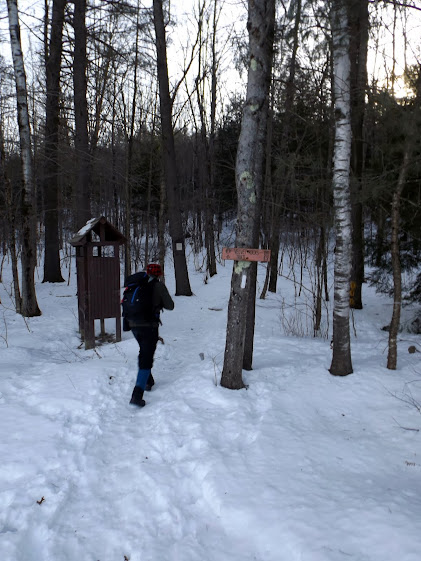
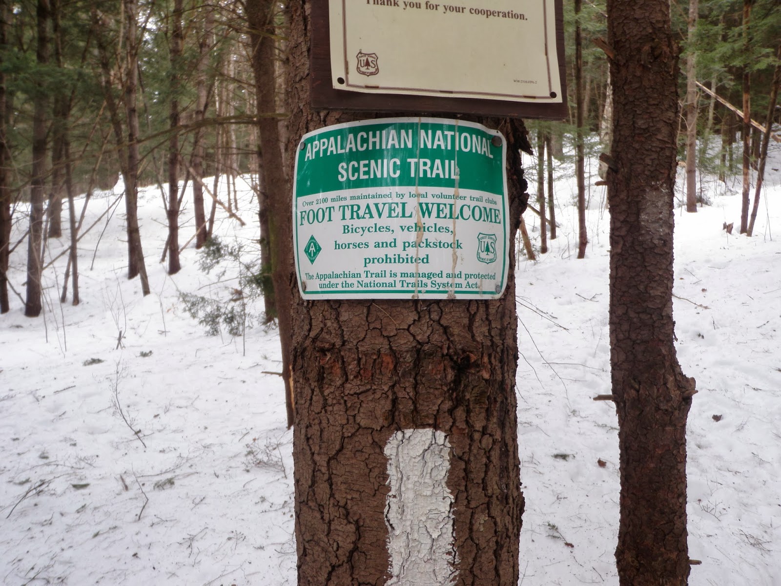
The trail head for the Velvet Rocks Trail section. The AT is blazed in white (which you can see below the sign) and very easy to follow, even in winter.

A kiosk at the Velvet Rocks trail head. Very nice maps and information for hikers.

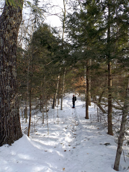
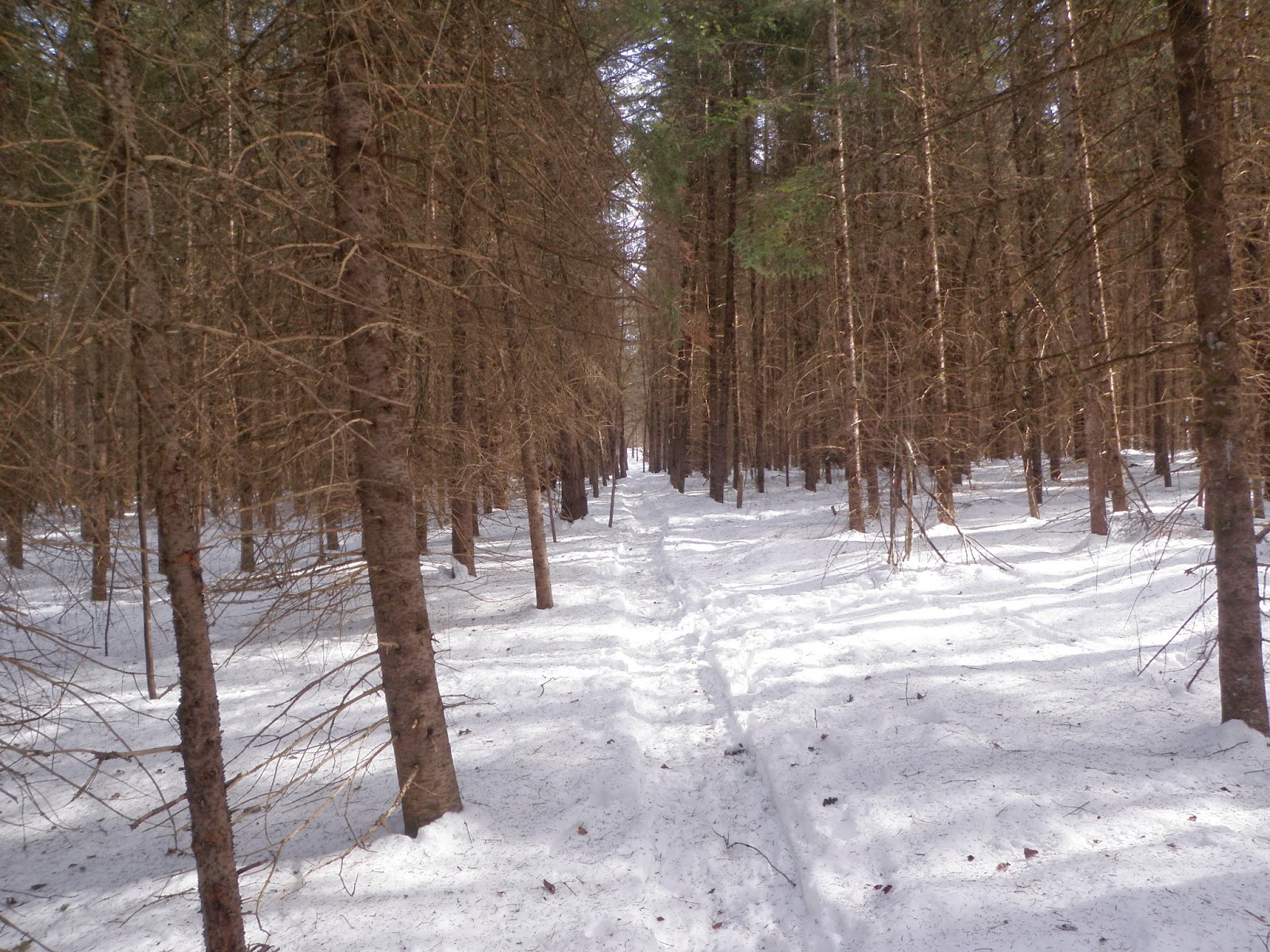
Back into the woods we are in our element now. The snow was hard packed and tracked out fairly well. A bit of ice so we put on microspikes and kept them on for the rest of the day.
A side trail takes you to the Velvet Rocks shelter.

The Velvet Rocks shelter, which is used by thru hikers and locals alike. This structure was originally built on Boston Common for a DOC exhibit.

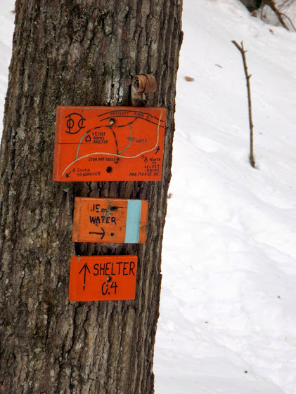
The AT is well signed, and in sections that are maintained by the DOC are always in this bright orange color with some interesting maps.
The trail meanders over a few rolling hills of varying wood content. The best was passing through a few cedar tree stands, complete with the great smell of cedar permeating the air.

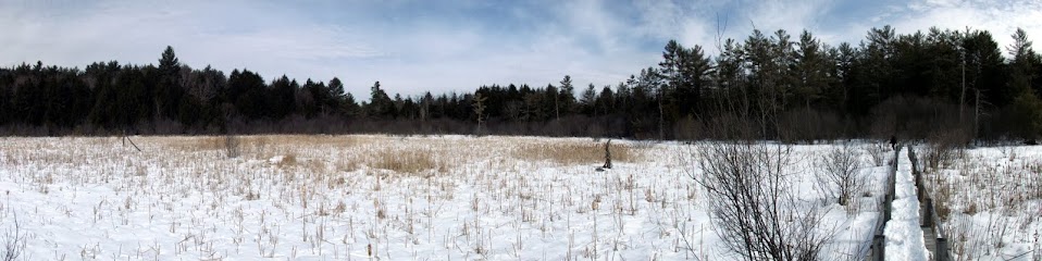
This is a swamp in the summer, but today looks like just another snow filled field.
For now we enjoy a nice snowshoe track that is as hard as a sidewalk allowing for a brisk pace. Sadly, it would not last though as we would soon find out.
The AT crossing at Trescott Road.

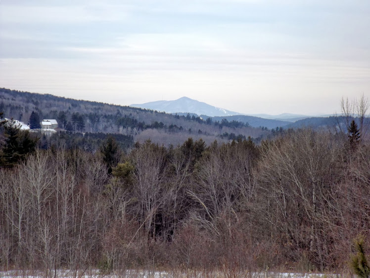
Mount Sunapee as viewed from a small field just on the other side of Hanover Center Road.
Someone is getting ready for maple syrup season! Metal buckets galore. Imagine the time and energy spent checking each one of these for its sweet goodness.

You cross this open field near the top of a hill where some homes are. The wind was blowing through here so we hurried along.

An AT information sign, which are placed throughout the trail in spots. We almost brought our bikes today too.
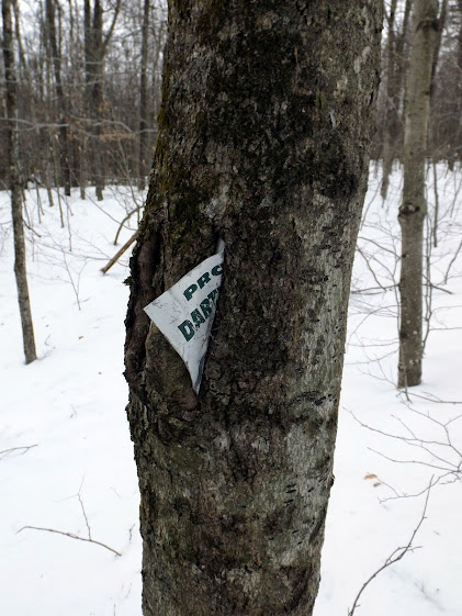
The tree is eating this sign whole!
Now the real fun begins. We have to go over Moose Mountain, which has two different peaks, to get to the car. The climbing would be great until we got to just past the south peak, and would turn into a living hell afterwards.

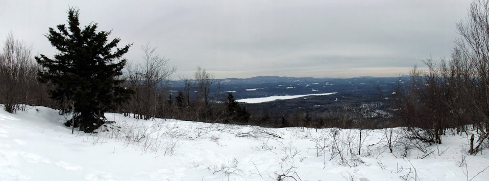
The summit of South Moose Mountain has a small panorama view of Mount Kearsarge to Mount Cardigan.
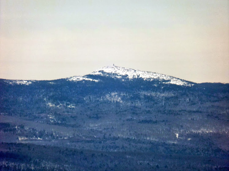
Super zoom of Cardigan Mountain with the fire tower on its summit.
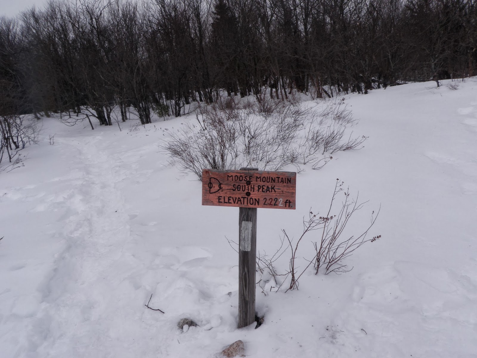
Summit sign of South Moose Mountain (elevation 2293), sign is for the elevation its at and not the true summit of this peak.
Spur to the Moose Mountain shelter complete with humorous sign.

Right around the shelter spur trail it went from nice to miserable. The snowshoe track vanished and the going was tough and slow. A lot of punching through snow that had a thick crust on top, but soft below. It was knee deep in most spots.


North Moose Mountain (elevation 2303') has a small viewpoint. Overall though, it was not a very good hike for views.
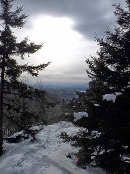
Another small view as we start down to the car waiting for us on Goose Pond Road.

SALVATION! The end of this hike. It was a tough 15.1 miles today for sure.

Despite the very tough last part of the hike over North and South Moose Mountains this was a pretty enjoyable day. It was neat to get a a taste of what through hikers see when they first cross into New Hampshire. We have done many other sections in New Hampshire, and the contrast for this one was very interesting.
We plan to continue section hiking this in the spring and beyond. We can safely say that this section has just enough to be pleasant but not enough for a re-do in the future.
Already donated but want to do more? Can't donate but still want to help? "Like" and "share" our Facebook page. Even as little as a dollar helps. Even "sharing" with just one person does too by spreading the word. Our Donation Page
is set up directly through the National Multiple Sclerosis Society
website, so you can donate with confidence that 100% of the money goes
to this fine collection of people working to help those stricken with
MS.
No comments:
Post a Comment
We welcome all feedback so please feel free to comment or critique this site.