Elevation gain:
Trails used: Hurricane Mountain Road, Black Cap Trail, bushwhack, Bayle Mountain Trail
Got the day off to go for a hike since the weather was looking nice. I read a report for Black Cap Mountain recently so I decided since it was going to be sunny, in the 50's and clear I would hike up and catch some views. What a surprisingly nice peak!
Black Cap (elevation 2369') is located in the Green Hills Preserve in North Conway, New Hampshire which also offers snowmobiling (in winter) and mountain biking trails.
Black Cap (elevation 2369') is located in the Green Hills Preserve in North Conway, New Hampshire which also offers snowmobiling (in winter) and mountain biking trails.
Several streams run alongside the road, which is gated in winter.

Obviously the road is a snowmobile route in winter. It was packed down very nicely, making for easy snowshoeing.

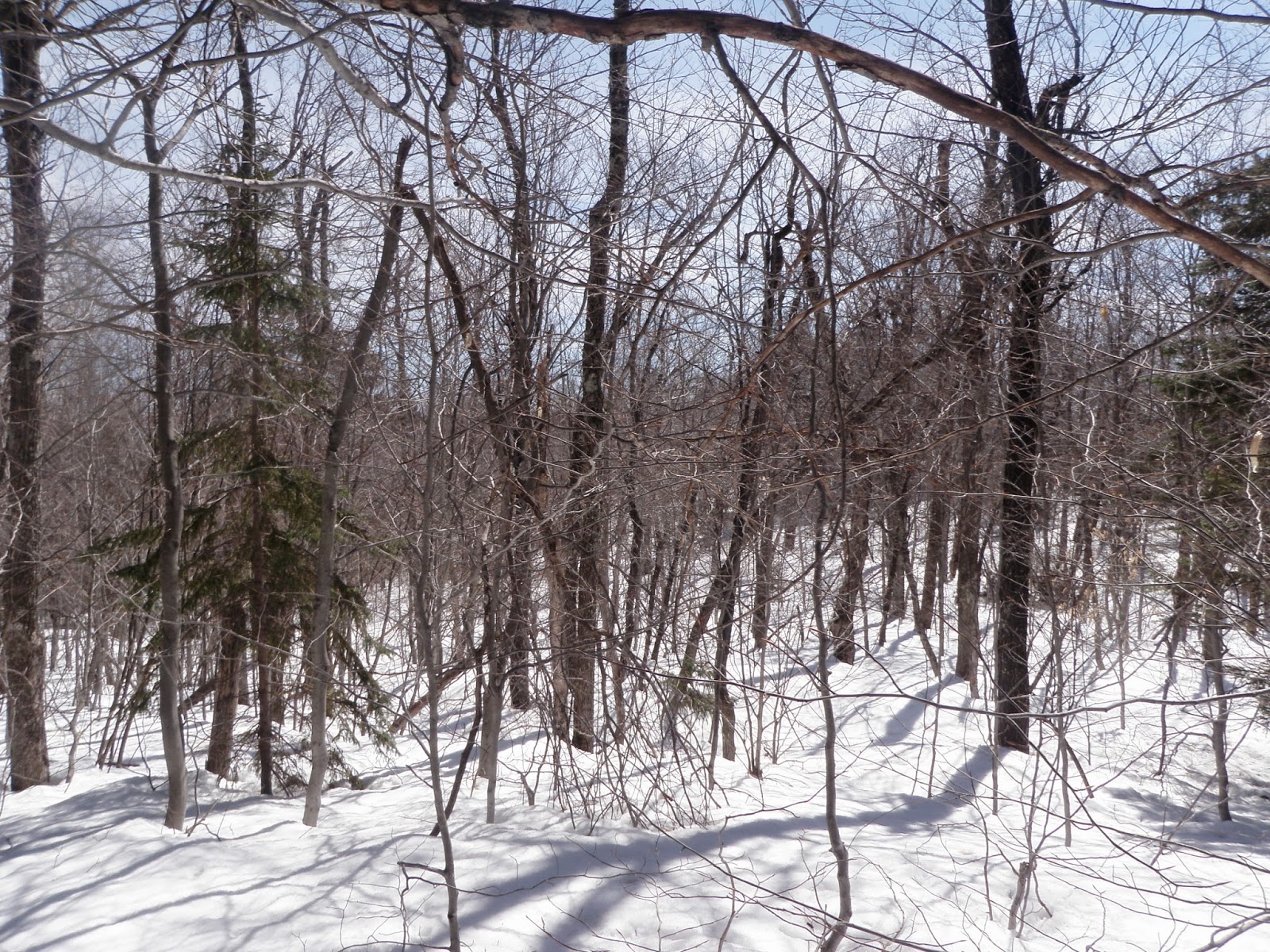
The Black Cap Trail which is located at the height of land off Hurricane Mountain Road.

Which is a snowmobile trail in winter, which still made for quick easy snowshoeing.

Green Hills Preserve kiosk, complete with map and general information.

Heading up towards the summit. I lost the trail at this point but it was nice and open so no problems making my way up.

Mount Washington makes an appearance with Kearsarge North (right)

Tried to make friends with this snow owl but he/she would have none of it. Best shot I could get of this awesome bird.

View towards the Moats

View towards Kearsage North, Sable, Chandler, Baldfaces and the Trio (Rickers Knoll, Twins, Shaw) in the foreground. Hurricane Mountain is below Kearsarge North

White Horse Ledge below North Moat

Mighty Mount Chocorua, which is always a joy to climb and has very nice views.

Another view of Sable, Chandler, Baldfaces and Royces, on the right

Mount Shaw and the Ossipee's

Views galore up here. 360 from different ledges

The open woods coming down off the summit

The hike back down to the snowmobile trail was pretty quick. At this point I decided to head into the woods across the junction for the Black Cap Trail and bushwhack up to Hurricane Mountain (elevation 2110'). Snow was still a bit deep in spots but easy to walk on top of because of a recent overnight freeze.
Looking back to Black Cap through the trees

Not sure if there used to be (or still is) a trail up to the summit, but I came across numerous blazes on the tree's which were not a forest boundary

Nice open woods on the summit plateau

A quick hike back down to the car and I still had time to do a reconnaissance mission and go up Bayle Mountain (elevation 1853') in the Ossipee Mountains to check out the snow conditions for a possible hike on a nearby mountain for Saturday. It was tough to find the road that leads to the trail. Thanks to Steve Smith for recommending this hike on several occasions.
Small cairn marking the start of the trail up to Bayle Mountain

The trail was like this for 90% of the hike. The snow that was still around was easy to walk through or around

It was steep for a bit but eventually you reach the ledges just below the summit

Looking towards Mt Shaw

Long ridge heading from Shaw to Black Snout

Looking towards the Nickerson Mountains, which used to be home to the Mount Whittier Ski Area

Views looking north. This is a nice peak to just sit and relax on

Bald Mountain slope on the left with Whittier just to the right

Part of the trail on the way down

Overall not a bad bunch of peaks. I would give two thumbs up for Black Cap and Bayle, for sure. Snow is rapidly melting so pretty soon we should be cranking out the miles. Very good day to be out hiking.
Already donated but want to do more? Can't donate but still want to help? "Like" and "share" our Facebook page. Even as little as a dollar helps. Even "sharing" with just one person does too by spreading the word. Our Donation Page is set up directly through the National Multiple Sclerosis Society website, so you can donate with confidence that 100% of the money goes to this fine collection of people working to help those stricken with MS.
No comments:
Post a Comment
We welcome all feedback so please feel free to comment or critique this site.