Elevation gain: 1716'
Trails used: Cohos, bushwhacks, roadwalks, Presidential Rail
On Saturday, we decided to return to a place we have come to know very well; the vast green logging woods of Coos county and Pittsburg, New Hampshire.
Pittsburg is a quiet town of logging roads, logging woods, and wildlife galore. The lakes and streams run crystal clear, and the hills more warm and welcoming than the craggy White Mountains. It's clear that not many people come this far north to hike but only for it's lack of hiking trail's.
On the list for the day would be some peaks on one of the bucket list's that we wanted to clean up, so first off was Covell Mountain, which has 3 summit's.
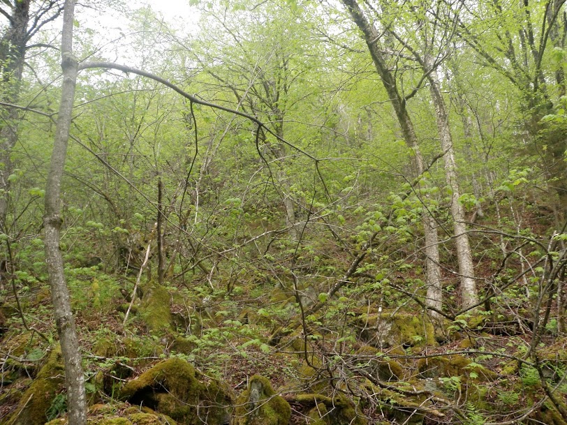
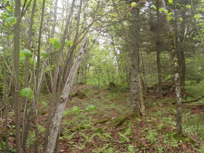
Covell technically has a trail up to it (the Cohos Trail which runs from the Canadian border to the White Mountains), but searching for the start proved troublesome, so we picked this spot close to the summit and whacked up from here.

It was very steep and a little thick hiking up, but it was only about .25 miles from the road to the summit so it was tolerable. It was like a mini ravine with boulders strewn about.
Greg discovered the Cohos Trail, which happened to be pretty much on Covell's highest summit (elevation 2410').
From there we decided to follow the Cohos Trail northbound a bit to see if it went to Covell's northern summit but it did not.
When it became obvious the trail was leading us more away from the car than we wanted we decided to whack back to it. Thankfully, though, various herd paths helped us along the way. Yes, that is a herd path not a trail.
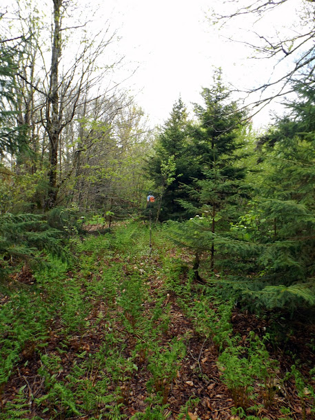
After Covell, we drove up Route 3 a bit to hit Round Pond Peak (unofficially named, elevation of 2401'). While in the area we also decided to visit a peak just to the southwest of Round Pond Peak, called Corkscrew Hill (elevation 2290').
We started off with a road walk (of course) which probably could have been driven if not for a few pesky orange parking cones blocking the entrance.

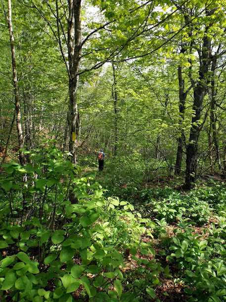
We walked to a spot as close as the road would get us. From there it was into the woods which were pretty decent and open.
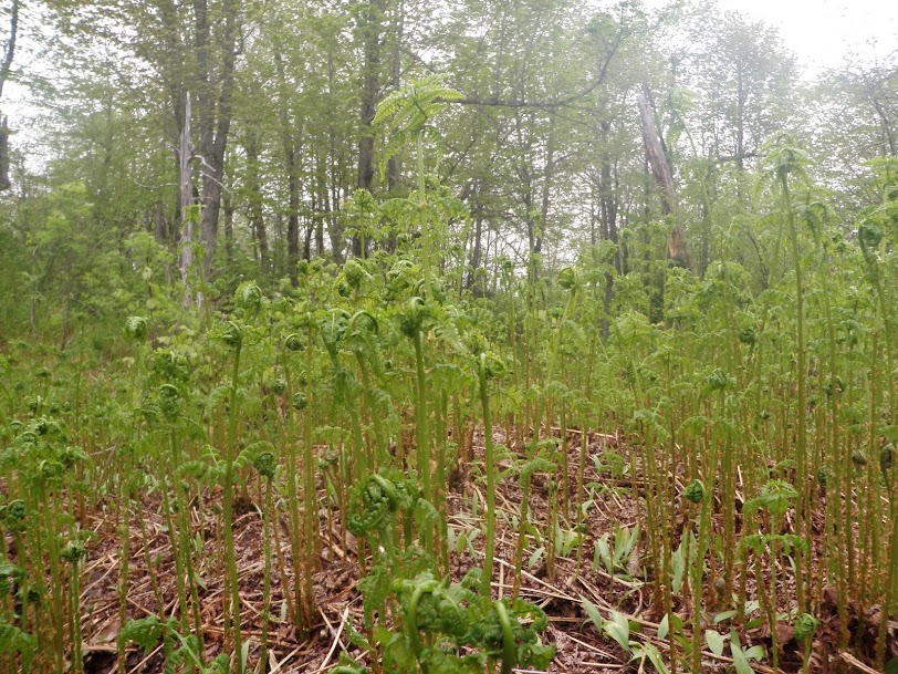
We found ferns galore! Alas we are a bit late for the fiddlehead crop.
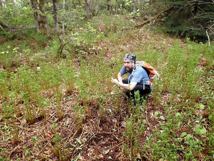
Greg says "ferns are good.....and stuff!". It actually looks like he is using nature as his bathroom.
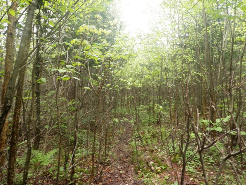
We chose to head back to the main logging road and decided to make our way back to another logging road that would get us closer toward Corkscrew Hill.
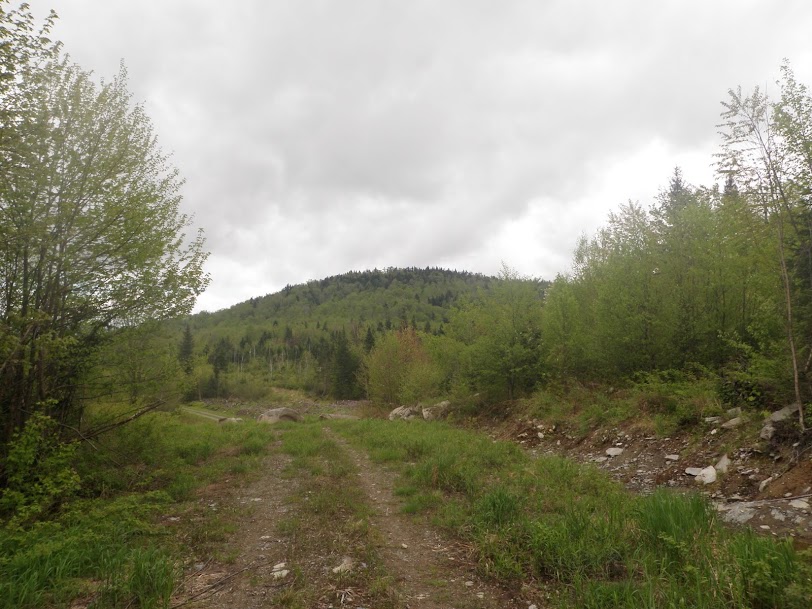
The trip up to the summit via various logging road went pretty quick. Real close to the summit itself we discovered a really nice view.
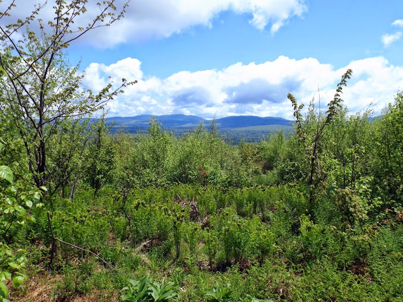
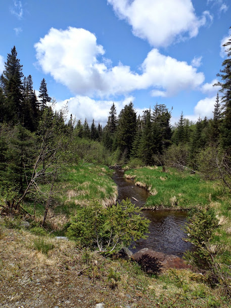
So many reasons to love Pittsburg, and babbling streams are one of them.
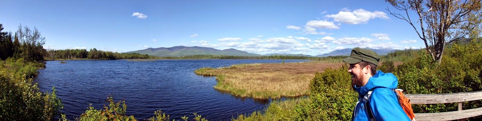
Once we got back to the car, it was time to start heading south again due to the time. Since the day was turning out to be so gorgeous, and looking for some more "easy" miles, we decided to hike out to Cherry Pond in the Pondicherry Wildlife refuge, reknown for its birdwatching and beauty. The Presidential Range sits as a backdrop to this pond, plus a constant presence with the Waumbek Range and glimpses of Mount Martha and the Cherry Range peaks that give his pond it's name also make appearances here and there.
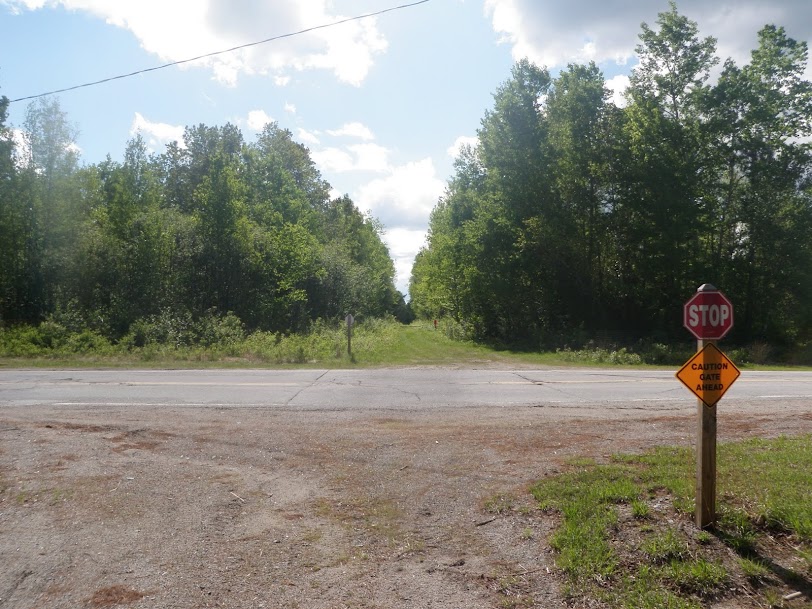
Starting from Rt. 115 it was a long way out to the pond using the Presidential Recreational Rail Trail. We parked on the side of the road where the trail goes in (and is gated in spring/summer/fall).
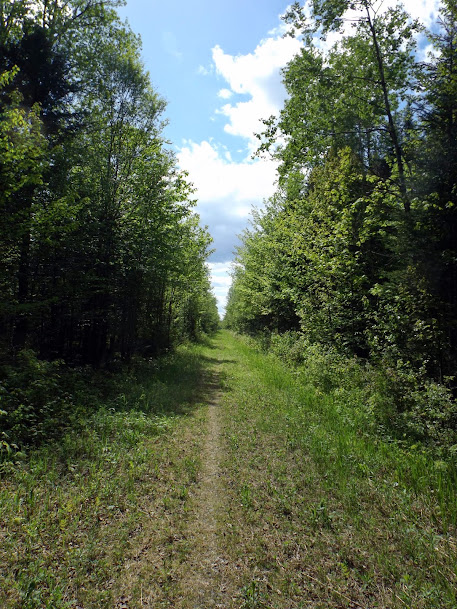
The first section starts out a bit on the high grass side. Brian managed to pick up two ticks, one at the start and one at the end of the trip.
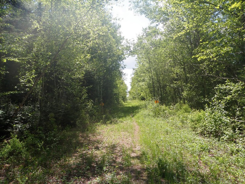
The trail is straight as an arrow and looks like it goes on forever. This is a multi purpose trail and is used by bikes, ATV's and snowmobiles.
Eventally we crossed Route 115A and right around here, the mosquitoes came alive.
After crossing a few bridges, things got much more interesting and scenic. Here is the Waumbek Range.
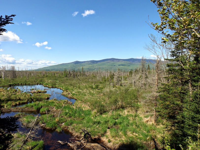
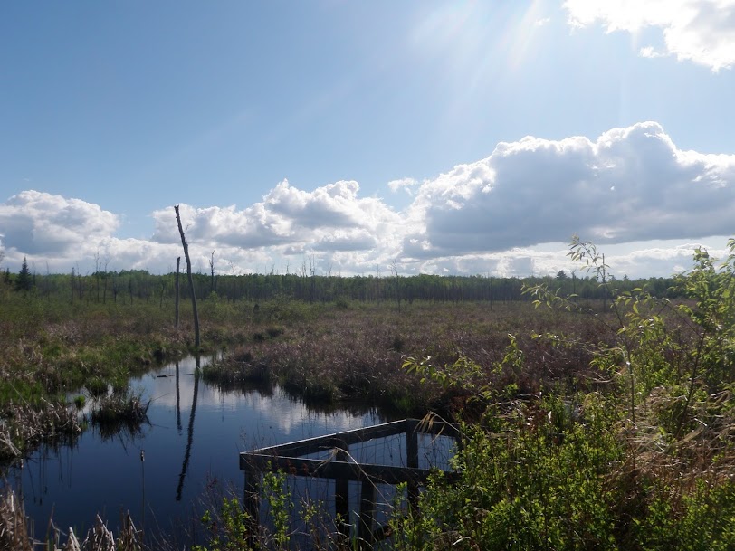
A nice marsh area before you get to the pond. This is probably neat to see in winter.
A bench along the trail provides a stunning rest stop. To the right is Mount Martha and Owls Head, to the left of Martha is the Presidential Range and further to the left is the Waumbek Range. The views were awesome today.

Finally we come to the boardwalk which will take you out to the edge of the pond.

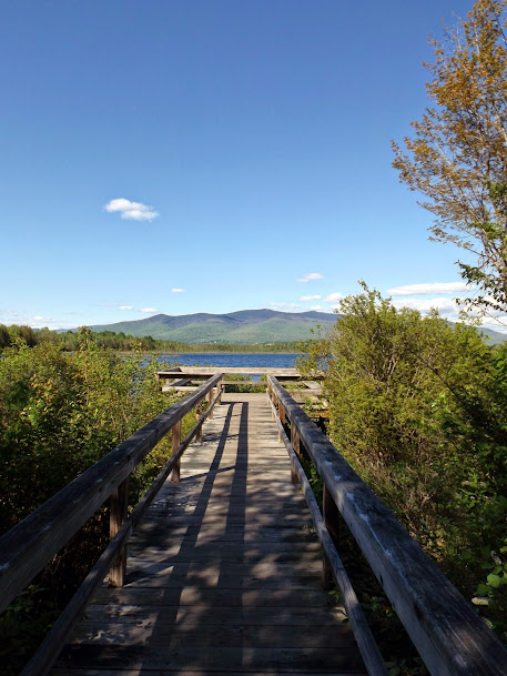
Yes, we could say it was worth the long walk to here.
Alas, it was getting late so it was time to head back after a short stay at the pond. On the return trip Greg spotted some old railroad ties and various other railroad items.

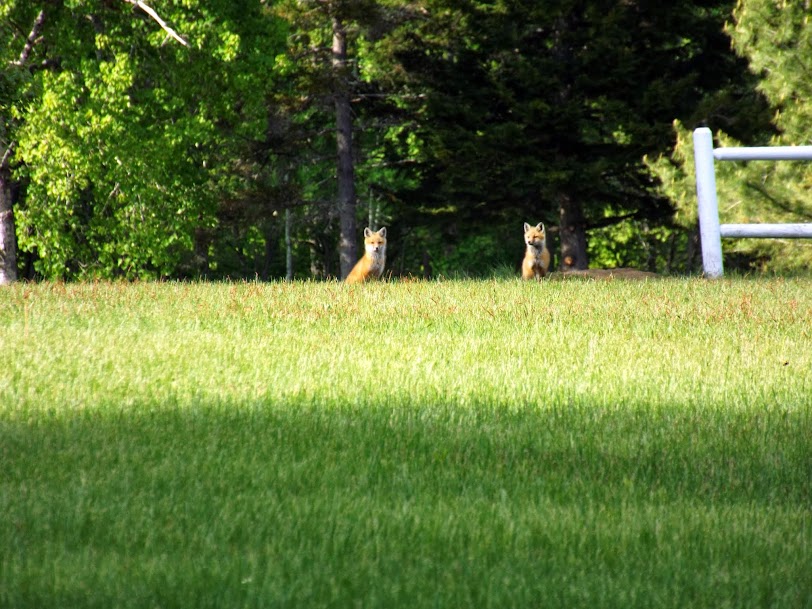
To cap off a great day we had a wildlife sighting. As we approached a field by someone's house, we spotted four fox pups and a mama fox. They refused to cooperate, but Brian still managed to get a decent zoomed shot of two of them.
After that, it was a long walk back to the car over already trodden trail. To break up the monotony of the last section, we walked out on the paved road when we got near it to take tus back to the car over on Route 115. It was getting late, but it proved to be worth it as the best parts of summer began to make their presence known after such a long and brutal winter. The extra hike at the end almost got us 14 miles for the day.
Already donated but want to do more? Can't donate but still want to help? "Like" and "share" our Facebook page. Even as little as a dollar helps. Even "sharing" with just one person does too by spreading the word. Our Donation Page is set up directly through the National Multiple Sclerosis Society website, so you can donate with confidence that 100% of the money goes to this fine collection of people working to help those stricken with MS.
Brian says "thumbs up to all who donate, or like and share on Facebook!" Hey, even if you like being silly, like our page!

No comments:
Post a Comment
We welcome all feedback so please feel free to comment or critique this site.