Elevation gain: 2450'
Trails used: none. Logging roads (old and new), road walk, power line cut.
And then there was one (well two for Greg since Brian had already done Cooley Hill several years ago before the Fire Tower list came about).
We knew it was possibly going to be a wet Saturday, and since Greg had to work Sunday, of course we picked a bushwhack. We decided to do Gardner Ridge and head up to the remains of it's old fire tower that resided on the peak. Only problem was, the location of the actual tower isn't listed correctly on the fire tower site so we assumed since the high point of the ridge is actually Signal Mountain, we would be all set if we tagged that one (and we had prior knowledge that there was in fact wooden remains here).
Gardner Ridge is located in Lyman/Monroe, New Hampshire and the ridge is actually on conservation land, which you can read about here. The summit of Signal Mountain is the high point for Monroe, New Hampshire. South Gardner is a sub-peak along Gardner Ridge and is also located in Monroe, New Hampshire.
Gardner Ridge is on the New Hampshire Fire Tower List.
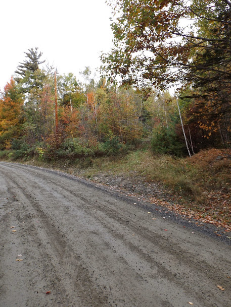
This is the old logging road we would start off on to head up to the summit.
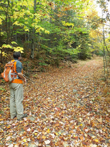
Greg admiring the old woods road walk we did to head up to Signal Mountain.
A neat little gravel pit, where the logging road ended and we turned to head into the woods to start our buswhack up through mostly open woods.

The woods down low to start were pretty easy to maneuver through.

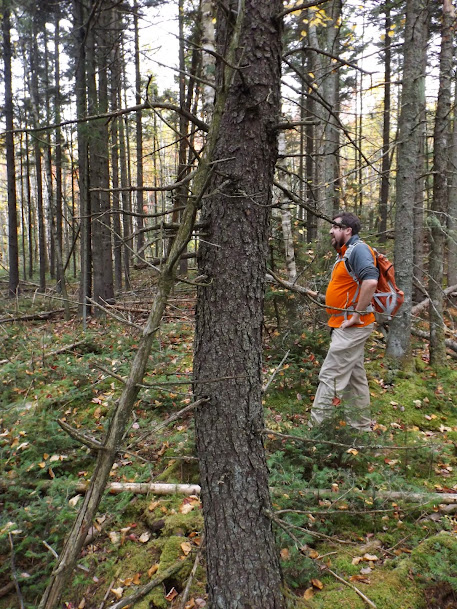
Higher up the woods turn into softwood, but remain rather nice and open.
A couple of views on the way up although it was pretty cloudy for most of the day.

Brian standing at the remains of the fire tower and the summit of Signal Mountain (elevation 2299'). It must have been a really small fire tower as evidenced by the minor amount of wood and frame left.

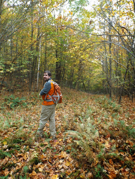
The open woods walking along the ridge heading towards South Gardner.

At one point Greg slipped on a rock and took a nice foot header. In our circle of friends, moments like this are always photographed for humiliation purposes (occasionally we ascertain if the person is not hurt...but mostly only after photo ops).

The open woods and summit area of South Gardner (elevation 2230').

Occasionally we would stumble upon old roads, evidence that this entire ridge was logged frequently in the past.
Heading down we came across these property boundary markers for the Ammonoosuc Conservation Trust (which I put the link for above).

We came across an area where a lot of the trees had these boles, leading Brian to quip that we were in the midst of a "tree-bola" outbreak.

More open woods goodness heading back down to the car.

Eventually we came across this old logging road which we would take to head down.

Then we came across this active logging road that we would take back down for the road walk back to the car.

Logging machines and a fresh stack of cut lumber.

I don't remember if Brian was thumbing for a ride, or trying to belt out one of Michael Bolton's Greatest Hits (it was snowing leaves which aren't visible in the picture.

We decided to head down the road and hit SS Gardner, which was quite the short adventure. We tried driving down Hunts Mountain Road (which is a class VI road) in Brian's CR-V but we could only make it a short way. So, road walk it was to be.
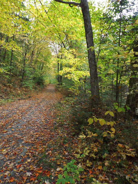
We had to park further down the road from the powerline cut. The road walk, however, was rather scenic with it's fall colors.
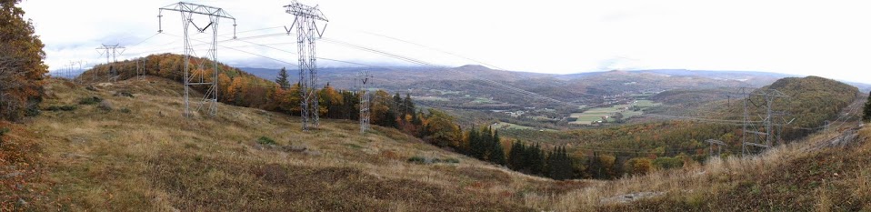
Looking up the power line cut to SS Gardner. We walked the power line access road, which was more like an ATV trail.

Looking back from where we came and Hunts Mountain.

Looking northwest into Vermont, which looks pretty orange and not green.

Panorama from the highest point of the power line cut just below the summit high point.
The high point for SS Gardner (elevation 2050'), which was about 200-300 feet from the power line cut to the summit.

We reversed direction and headed back to the car. The rain held off until we got back towards Lincoln so overall it was a decent weather day.
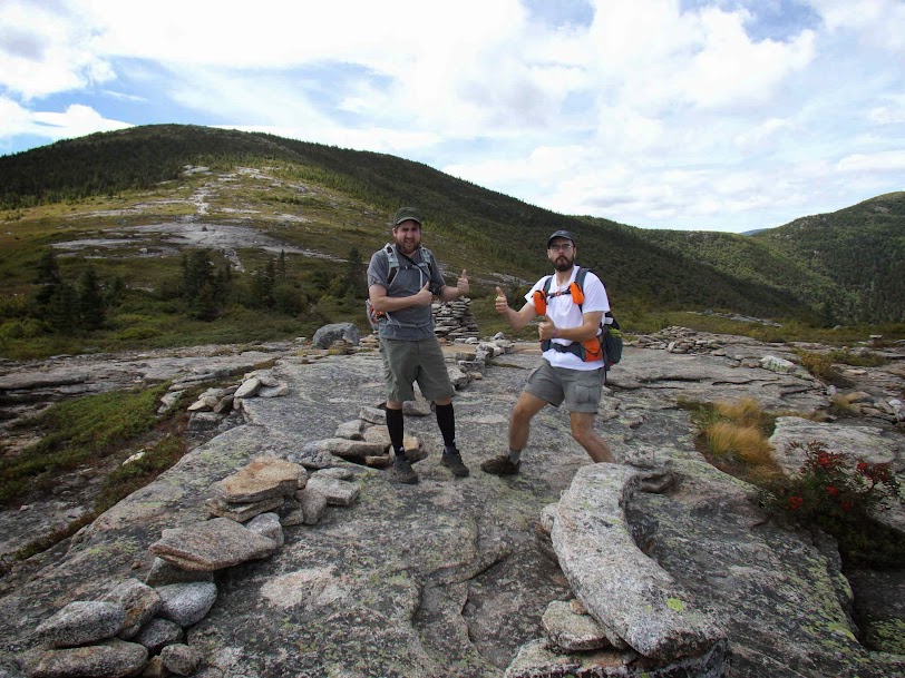
We managed to hit our objective for the day and bring the Fire Tower List closer to being finished. Only Bear Island and it's observation tower (not fire tower) remains for Brian; I need Cooley Hill as well. I believe we plan on finishing in the winter, when we can walk across the lake to the tower. We have still more adventures left to do this year.
Already donated but want to do more? Can't donate but still want to help? "Like" and "share" our Facebook page. Even as little as a dollar helps. Even "sharing" with just one person does too by spreading the word. Our Donation Page is set up directly through the National Multiple Sclerosis Society website, so you can donate with confidence that 100% of the money goes to this fine collection of people working to help those stricken with MS.
Brian and Greg say "thumbs up to all who donate, or like and share on Facebook!" Hey, even if you like being silly, like our page!
No comments:
Post a Comment
We welcome all feedback so please feel free to comment or critique this site.