Elevation gain: 2647'
Trails used: Roadwalk, Andrew Brook Trail, Solitude Trail, Summit Trail, Sunapee-Ragged-Kearsarge Greenway.
Mileage, that was the name of the game for today's hike. The weather was supposed to be somewhat decent; not warm or sunny but a bit better than the prior days cold windy day. We kicked around doing something either along the SRKG or MSG (Monadnock-Sunapee-Greenway) as they can be broken down into sections of really good lengths and we could string several sections along. We decided on doing the first two sections of the SRKG.
The Sunapee-Ragged-Kearsarge Greenway, or SRKG as it is referred to, is roughly 75 miles of hiking trails that makes a loop around the Lake Sunapee area and connects the three mentioned mountains. More information on this hike and the volunteers who keep it maintained, visit their website at http://www.srkg.com/.
Most of this hike is varied; some road walking on paved roads, some old woods road walks and actual trails. Please print a map of the section you are hiking as it can be a bit confusing in spots.
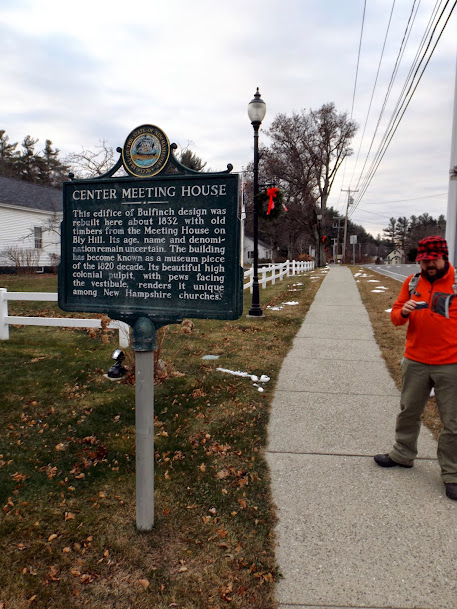
The Historical marker for the Newbury Meetinghouse, right around the corner from where we spotted Greg's car to start the hike.

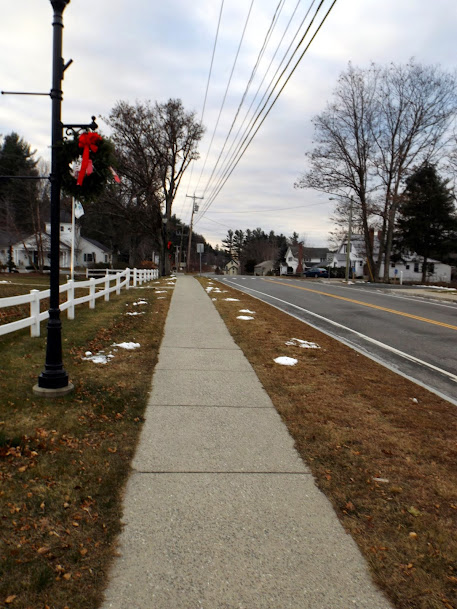
The hike starts you off by walking down Route 103. The only problem was that we were heading in the wrong direction (which we didn't realize until too late).
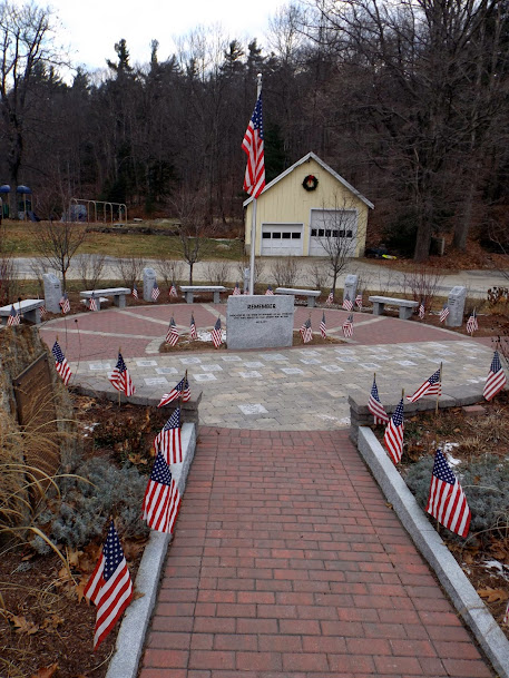
You pass this war memorial in downtown Newbury, honoring all of our branches of the military and the men and women who sacrificed their lives for this country.
Since we missed the Newbury Trail, which neither of us could figure out at the time where to go to get to the trail head, we pretty much walked all the way to Mountain Road and took the Andrew Brook Trail to Lake Solitude.
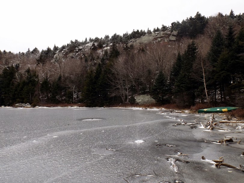
Down low there was a coating of snow and ice, and this water crossing is the most challenging part of the hike we would encounter all day.

Eventually we made it to Lake Solitude, which lived up to its name. The lake is a bit different than it was when Brian was here this past summer with his friend Jim. At that time, the lake was swarmed by at least 100 people.
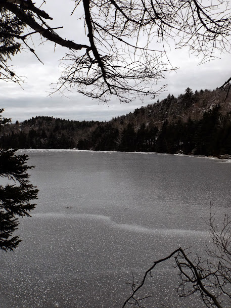
The White Ledges over Lake Solitude. It was too dangerous to head down the ledges as the snow was sheer glare ice.
From Lake Solitude to the summit of Mount Sunapee, you follow the Solitude Trail up which follows part of the access road which Greg is approaching.

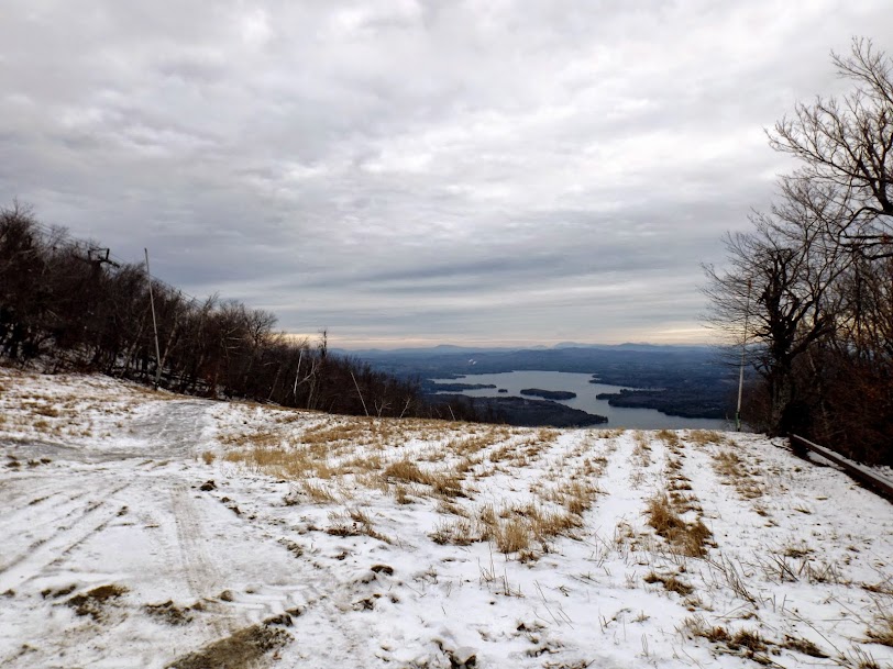
At least there are some views to be had from the ski trails.
Zoomed in picture of Mount Kearsarge (right) and Ragged Mountain (center).

Panorama views from the ski slopes of Mount Sunapee.

We had to walk besides the snow guns to make it to the summit ski area which made it feel like winter (which is right around the corner).

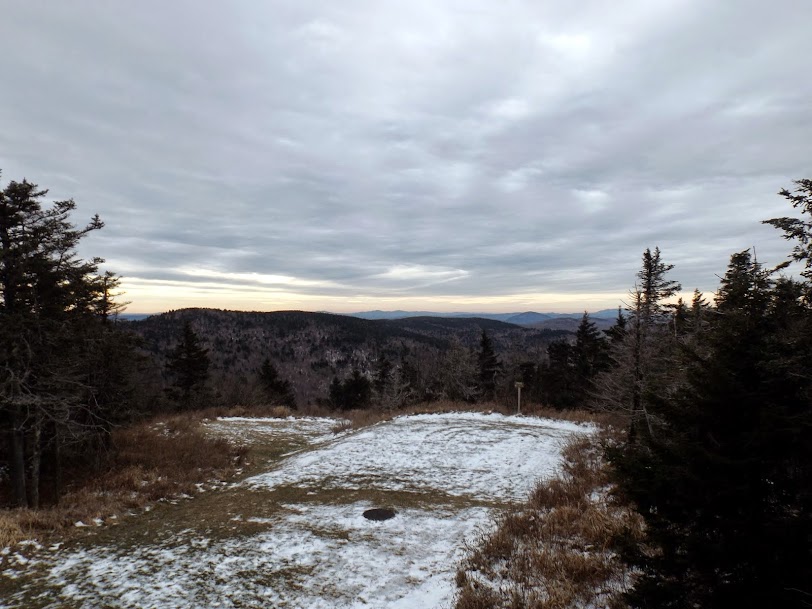
The views looking south from the deck of the summit ski building.
We headed down the Summit Trail, which seemed to have less snow and ice than the other side. Further down the trail is an old jeep road.

The trail runs along side the beginner's ski area for Mount Sunapee, which had a good base of snow ready for skier's.

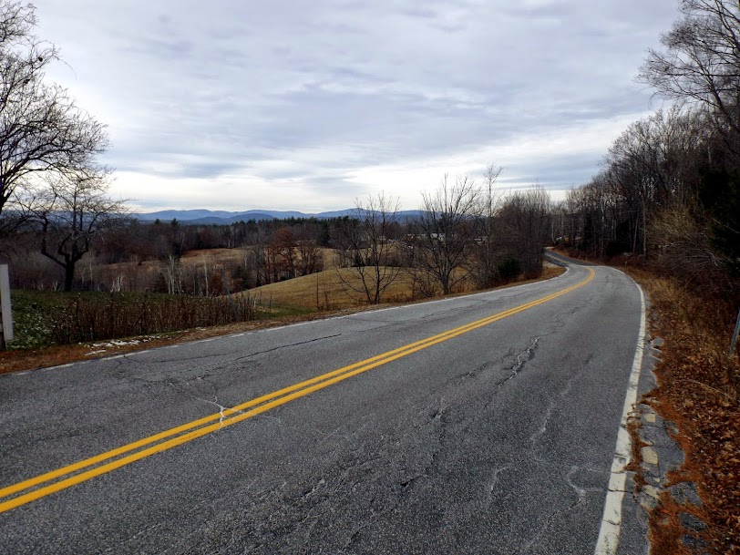
We are now doing a long road walk on Brooks Road. You have to be VERY careful here as the SRKG blazes/markings are very far and few between making you wonder often if you are still going the right way. We got some nice views of Croydon Peak and Grantham Mountain and Mount Ascutney in Vermont.
A short road walk back down Route 103 leads you to this next branch of the SRKG on Harding Hill Road.

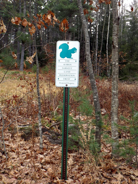
After a brief road walk again, it was time to head back into the woods. The trail runs through the Ausbon Sargent Land Preservation Trust area. For more infortmaion such as backround history and hiking maps, visit http://ausbonsargent.org/.
This section of trail was perhaps the easiest section to follow as it was well blazed. It was also a nice woods walk along snow mobile trails and various old logging roads.

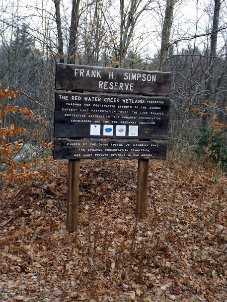
A short bout of more roadwalking along Hells Corner Road and it is back into yet more conservation land, which the SRKG has roughly a mile of trail through this property.
Beaver dam on this watershed area of the Frank H. Simpson Preserve.

Brian hugging a utility pole on our crossing of Stagecoach Road.

The section of trail around Blaisdell Hill got a bit confusing as there were several blazes pointing in several different directions. You DO NOT want to go up Blaisdell Hill.

Eventually the trail lead us into downtown Sunapee and right besides this cool looking covered bridge. There is a parking lot on the left that the trail goes through (not in picture).

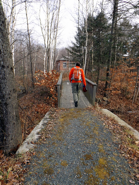
Greg walking over the bridge on the Sunapee River Walk. We actually double backed up the trail to complete this section since we missed the blaze.
The SRKG comes through this grassy area and seemed almost out of place.

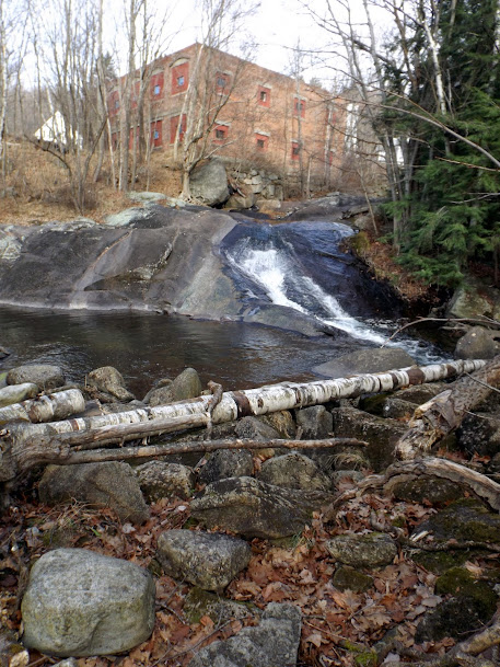
A neat little waterfall below the hydro plant and along the grassy area above. It is probably a nice spot to relax on a warmer day.
Mileage mission accomplished for the day. We probably could have added a few more miles on as it was early when we finished but we were hungry and headed into Newbury for some Mexican (found a little place near the local airport that wasn't bad).
A mixed bag on this hike. Like usual, when we gather information we do a poor job of it and the route finding of the route was the hardest part of the day. Some spots were blazed nicely with the white blazes or cut out blazes indicating the SRKG; other sections we really had to "hope" we were headed in the right direction. If you decide to do this in sections, or even in its entirety, please download and print a map. It will definitely save you some trouble!
Otherwise, not a bad day. It was a bit chilly when the wind picked up on the road sections we hiked on but if you aren't looking for a view-centric kind of hike, this hike is for you.
Already donated but want to do more? Can't donate but still want to help? "Like" and "share" our Facebook page. Even as little as a dollar helps. Even "sharing" with just one person does too by spreading the word. Our Donation Page is set up directly through the National Multiple Sclerosis Society website, so you can donate with confidence that 100% of the money goes to this fine collection of people working to help those stricken with MS.
No comments:
Post a Comment
We welcome all feedback so please feel free to comment or critique this site.