Elevation gain: 2191'
Trails used: old logging roads, snowmobile/ATV trails, road walk, Diamond Peaks
As usual, it was Friday and we had no clue what we would hike Saturday so it was going to be one of those "decide as we go kind of hikes". Since we had a few fire tower peaks, and not much else for choices at this point, fire tower's it would be. We decided to head up and do East Whitcomb first, followed by whatever we could figure out what to do after.
East Whitcomb is a fire tower peak located in Coos County, New Hampshire (Phillips Brook area) and the fire tower is still standing. It used to be "rented" out for people to use overnight but has since stopped. One could still stay at the top as the tower itself is still pretty sturdy.
Both of these hikes are on the New Hampshire Fire Tower list.
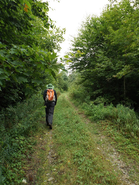
We started off on this logging road, that showed some recent traffic.

Greg walking up the logging road. We could hear logging going on nearby, possibly on the ridge heading towards Whitcomb Mountain.
We crossed on a old logging bridge and it's a good thing it was there. The water was flowing pretty good from the last few days worth of rain.

We obviously did not take the usual route up. We tend to add a unique flair to all of our hikes.

Greg hip deep in the logging cut. We followed herd paths over to the snowmobile trail that is clearly marked on our GPS units.

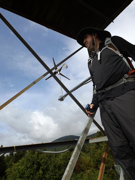
The fire tower on the summit of East Whitcomb (elevation 2510'). It is in relatively good condition and we climbed it all the way up, very cautiously though.

Looking up towards the main Whitcomb Peaks.

Part of the Millsfield wind turbine farm.

Looking south towards the Mahoosucs, Carter/Wildcat ranges.

Elvis has left the building. Well, Greg is leaving it but technically he's still on the stairs.
It was much easier hiking on the snowmobile/ATV trail.

Well it's easy when there's no mud. It was a heck of a lot quicker hiking back down to the car than it was hiking to the fire tower.
We decided our next hike would be the Diamond Peaks in the Second College Grant in Coos County, New Hampshire. Supposedly there was a fire tower that resided on this peak but we saw no evidence of it on this hike. The fire tower website claims this one was a proposed site but no further information.
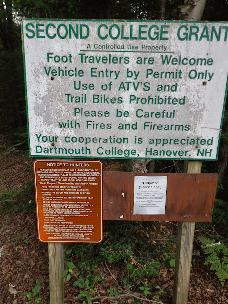
We parked at this gate off of Dead Diamond Road where access is restricted but hiking/foot traffic is welcome (see picture below).

Greg stops along the way on our 2 mile road walk to take pictures of Mount Dustan.

Nice wetlands area in the Second College Grant.

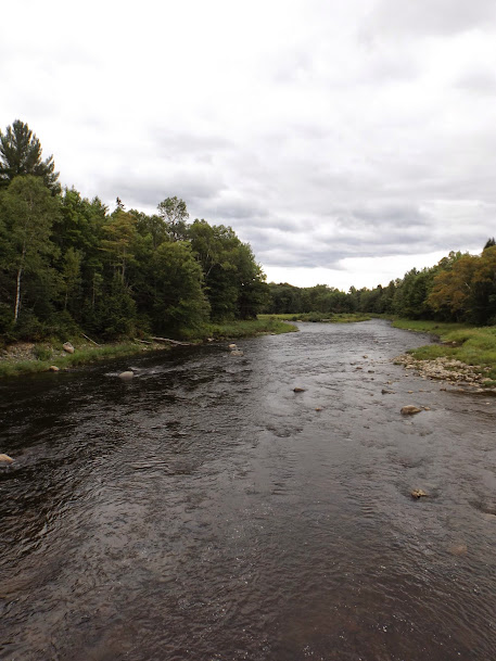
The Perley Churchill Bridge that crosses over the Dead Diamond River.


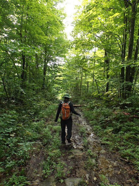
The start of the Diamond Peaks Trail.

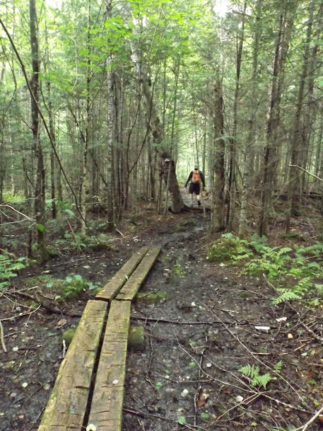
The trail starts off on bog bridges but just as quickly starts going up.
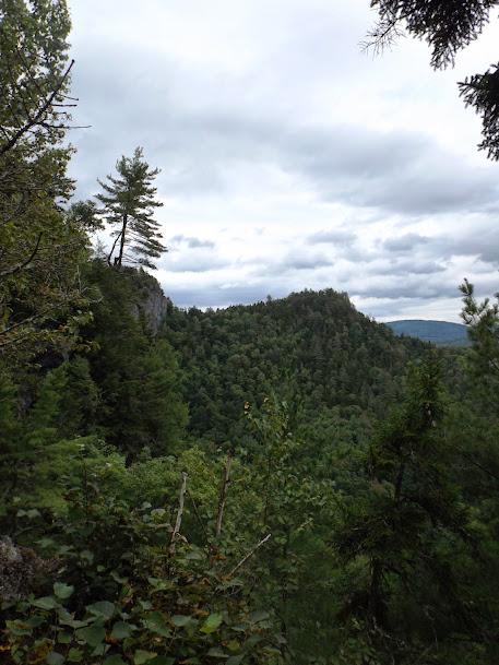
In spots along the trail, and on the various ledges, you can look over and see just how steep it is straight down as you are hiking up.

Looking over to the main summit of Diamond Peaks.
Looking from some ledges over to Mount Dustan.

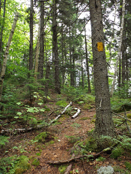
The trail gets steep in a few spots and is blazed with yellow blazes and easy to follow.
The main summit of Diamond Peaks (elevation 2050'). There is a slightly lower summit you pass by on the way over to the main summit and high point.

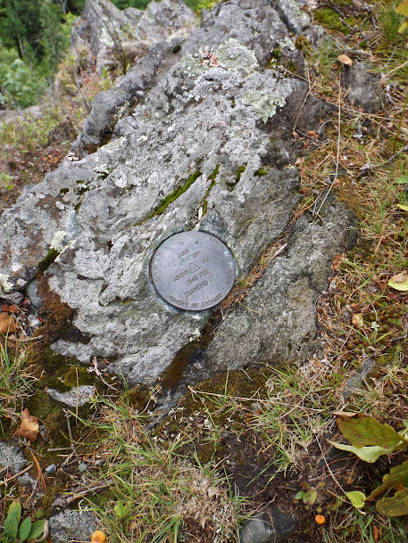
The summit benchmark located on the ledges right below the summit.
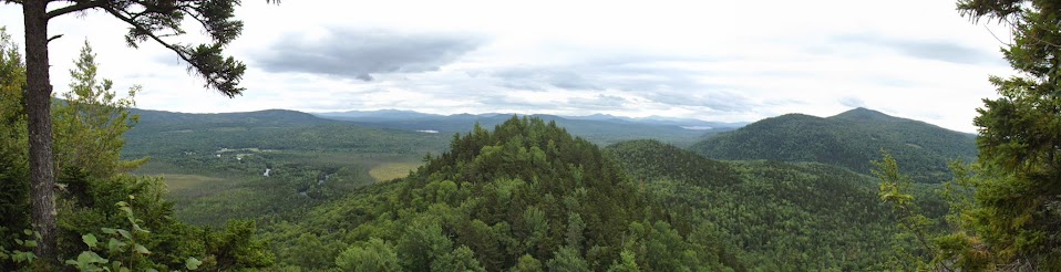
Panorama from the ledges just below the Diamond Peaks summit. Looking towards Mount Dustan and into Maine.
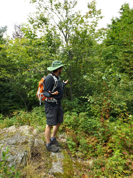
On the way back down, we decided to check out Alice Ledge which failed to impress us. Greg wonders where the views are.
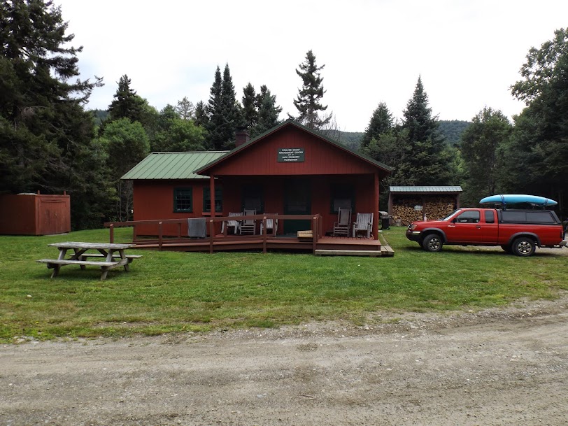
The management center right across from where the Diamond Peaks Trail starts.
Overall, the two hikes took longer than expected so we were done for the day. Sometimes when you drive up north, it seem's like you drive more than you hike and this was definitely one of those days. East Whitcomb we could have done easier had we taken the snowmobile/ATV trail to begin with but the views from the tower were nice. Diamond Peaks was very underwhelming in the sense that we expected better views and a better hike for the distance required to get to the trail/summit.
Regardless, it did make for 10 easy mile which we will gladly take any day. Adding to this, the weather was nice with nice temperatures and no rain (althought it looked like it would several times). Plus, no bugs until we were done with the hike. We could not complain about hiking like this.
Already donated but want to do more? Can't donate but still want to help? "Like" and "share" our Facebook page. Even as little as a dollar helps. Even "sharing" with just one person does too by spreading the word. Our Donation Page is set up directly through the National Multiple Sclerosis Society website, so you can donate with confidence that 100% of the money goes to this fine collection of people working to help those stricken with MS.
Brian says "thumbs up to all who donate, or like and share on Facebook!" Hey, even if you like being silly, like our page!

No comments:
Post a Comment
We welcome all feedback so please feel free to comment or critique this site.