Elevation gain: 3289'
Trails used: Hancock Notch-Hancock Loop-Cedar Brook
For Saturday's hike, we initially decided we were going to do a traverse of Moosilaukee but we decided on doing the Hancock's, and throwing NW Hancock into the mix as it was on the fire tower list we are doing.
Mount Hancock is located in Grafton county in New Hampshire and is located in the Pemigewasset Wilderness. The tower that resides on NW Hancock was only in operation for a few years in the early 1900's before it was taken down.
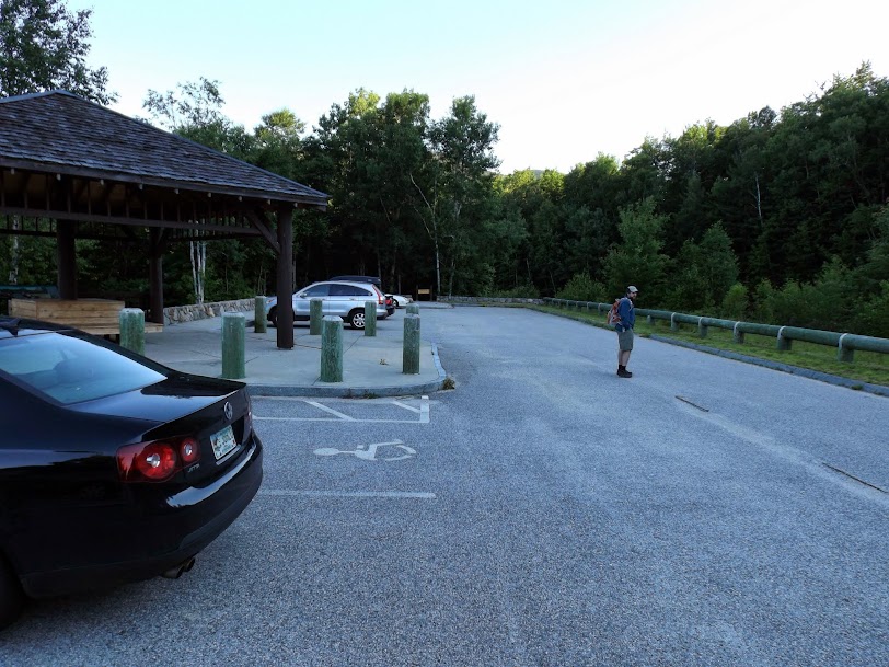
The trail starts from the Osceola Overlook near the hairpin turn on the Kancamagus Highway.
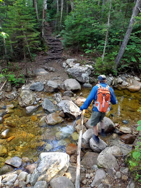
One of the many water crossings we had to do today.

Greg heading over troubled waters!
Time to do some serious UP! Either way, whether you do North or South peak first, its a steep climb up to either summit.

Views of the Arrow slide on North Hancock on our climb up South Hancock.

Greg ponders many things during a short break; like, why are we climbing this beast of a peak?

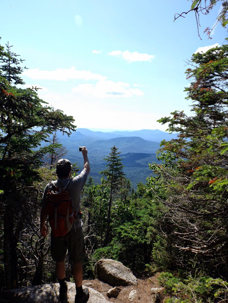
Views from the outlook just below the summit of South Hancock (elevation 4319').

Same view, different perspective. Not much for views really.
Taking the Hancock Loop Trail over to North Hancock. This is a really nice ridge walk.

Looking back towards Middle Hancock (left) and South Hancock (right).

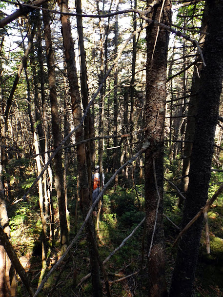
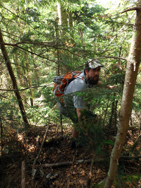
One of the better parts of the bushwhack across the ridge. That's not saying much as it was not pleasant at all.
Heading up the last .10 of a mile on the ridge to the summit of NW Hancock on probably the nicest part of the whole hike so far.

The summit of NW Hancock (elevation 4000').

The summit canister. In addition to this being a peak on the fire tower list, it is also on the Trailwrights 72 hiking list http://www.trailwrights.org/72summits.htm.

A piece of metal and some loops of cable and metal wire.

Greg says he is having fun. Lots of fun. So much fun he is knee deep in it. I think Greg is exaggerating just a tiny bit. I think he has a tear in his eye (maybe its a bug too, who knows).
Instead of heading back across the horrible ridge, we decided to take our chances and bushwhack down to the Cedar Brook Trail. While it was only marginally better, we did come across this slide which we took almost the rest of the way down to the trail.

A muddy tough crossing on the Cedar Brook Trail.

Campers at the junction for the Hancock Loop Trail. Not sure why people can't read the signs about camping 200 feet from the trail. This was the second spot along the trail that we saw this.

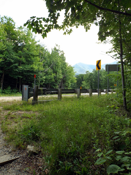
SALVATION! The Kancamagus was a welcome sight a the end of this long day.
We are glad this one is in the books. This was not a fun hike. Not only was the bushwhack a frustrating one, but the mosquitoes and flies made this hike worse. We did manage to get some good miles in but sacrificed a lot of blood to accomplish that (both from the bugs and the bad woods).
Already donated but want to do more? Can't donate but still want to help? "Like" and "share" our Facebook page. Even as little as a dollar helps. Even "sharing" with just one person does too by spreading the word. Our Donation Page is set up directly through the National Multiple Sclerosis Society website, so you can donate with confidence that 100% of the money goes to this fine collection of people working to help those stricken with MS.
Brian says "thumbs up to all who donate, or like and share on Facebook!" Hey, even if you like being silly, like our page!

No comments:
Post a Comment
We welcome all feedback so please feel free to comment or critique this site.