Elevation gain: 3172'
Trails used: roadwalk, Cobble Hill, bushwhack, Red Hill
Another Saturday, another hike of in-decisions. Actually, we had a set group of hikes in place but the planning for a couple of them fell through and we spent more time driving around than we actually did hiking.
A minor bump located just south of South Moose Mountain was to be our first hike. Moose Mountain is located in Lyme, New Hampshire. This minor peak had a fire tower on it at one time. This was a straight up road walk, which we are rather accustomed to.
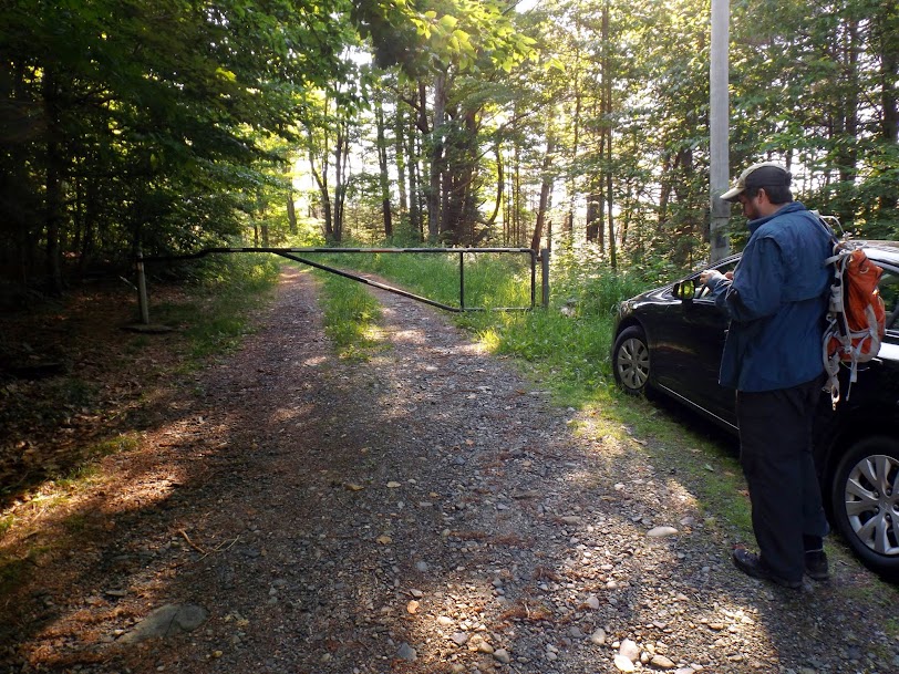
This is where we parked to start our road walk up to the old fire tower site. This is located right off of Moose Mountain Lodge Road.
We walked up the road past this AT&T portable cellular tower.

This is the main cell antenna and generator building near the minor summit.

We walked past the antenna array and hit the high point of the minor summit. The grass was about thigh high and luckily there was only one tick removed from our clothing. The mosquitoes were swarming for this whole hike, hence the reason Brian has the bug net on.

A close up view of the generator buildings.

A nice beaver pond on the way up (and down). There was a trail that ran around the lake.

Our second hike was going to be another fire tower (or a proposed site for one) but due to access issues, we did not do it. Instead, we drove down the road and hit a peak in an area that Brian had visited recently.
Moody Ledge is located in Landaff, New Hampshire and is the highest point in Landaff . This interesting peak is located directly across from Cobble Hill, which Brian had decided to do earlier in the year. Our objective at the time was to make a loop hike up Moody Ledge, back down and over to Cobble Hill and then back to the car. The combination of heat and bugs made this a one peak hike.
We took the Cobble Hill Trail in a little ways to where we would start the bushwhack for Moody Ledge.

The "trail" is an old woods road that is used by snowmobiles (and other recreational vehicles as evidenced by tracks we saw in the mud). Parts of the trail was knee high grass; other parts it felt like a minor stream with all the water flowing down it.

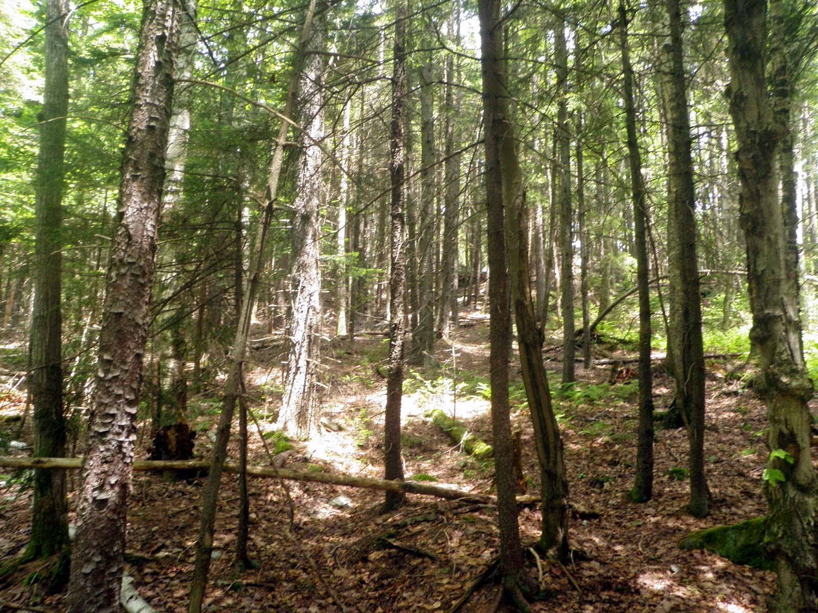
On an old logging road which we took up. It felt like less of a bushwhack since the herd path was also a bootleg trail.

We managed to hit some ledges on the way up, just not THE Moody Ledge.

You can almost make out the bootleg trail in the middle of the picture. This trail made for an easier ascent of the mountain.
Below the summit ridge, we came across this nifty camp site. It had a tarp roof, a stone wall and a fire pit in the front. Most likely built by local hunter's but we weren't sure.

The summit area for Moody Ledge (elevation 2326'). No views, no ledges on this summit.

One of the few views we found on Moody Ledge and this was from an old logging cut on the way back down to the Cobble Hill Trail.

After a 2 mile plus road walk that was mosquito hell, our third and final hike of the day was up Red Hill located in Moultonborough, New Hampshire. This peak has a fire tower on it's summit and the views are 360 degrees. The fire tower on top is staffed by the local fire department and the only fire tower in New Hampshire not owned by the State of New Hampshire.
Greg in front of the Red Hill Conservation Area sign board located at the trail head.
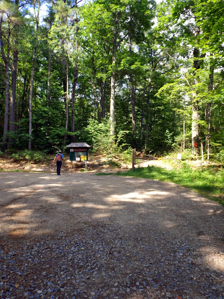
The information board at the start of the trail head.

Site of the old Dane Homestead and its cellar hole, which was used as cold storage.


"We go up!" The trail was not too steep but the combination of the prior two hikes and warm weather made it seem like forever.
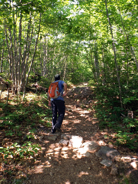
The trail is an old fire tower jeep road that goes all the way to the summit.

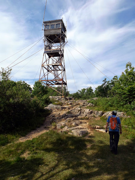
The fire tower on the summit of Red Hill (elevation 2020').

Greg approaching the tower. Despite it being rickety looking, it was sturdy enough to climb.
Our first views, not from the tower, but from the ground. Looking over to the Belknap Mountains.

Views to the north with peaks like Chocorua, Passaconaway, Whiteface and Paugus visible.


More views looking over to the Belknap Mountains.

Views looking south to the Lakes Region.

Looking down to the fire warden's buildings on the summit.

Nice three peak hike. We did not get all the hikes in we wanted to get done but Red Hill was a definite nice hike. We would like to go back and re-do this one but add in Eagle Cliff and make this a views hike loop. The weather is getting warmer and the bugs have been tenacious lately so we will try and get more above tree line hikes in for awhile.
Already donated but want to do more? Can't donate but still want to help? "Like" and "share" our Facebook page. Even as little as a dollar helps. Even "sharing" with just one person does too by spreading the word. Our Donation Page is set up directly through the National Multiple Sclerosis Society website, so you can donate with confidence that 100% of the money goes to this fine collection of people working to help those stricken with MS.
Brian says "thumbs up to all who donate, or like and share on Facebook!" Hey, even if you like being silly, like our page!

No comments:
Post a Comment
We welcome all feedback so please feel free to comment or critique this site.